What is recorded here
Unable to locate 17th century graveslab located in W quadrant of All Saint's graveyard (WM019-089017-) which was described in the Urban Survey of Westmeath (Bradley et. al. 1985, 118) as a ‘narrow rectangular limestone slab (dims. H 1.8m; Wth 0.6m) with one triangular end. Broken and partly defaced. Decorated with the stem of a cross rising from a stepped base. Roman inscription in false relief: THE SOV ./ BRYAN S/ N AND MAR/ ASY 1675 W C’.
Compiled by: Caimin O'Brien and R. Barrett
Revised by: Caimin O'Brien
Date of revised upload: 19 June 2015
The monument record does not grant public access. Check the route and ask the landowner before entering private land.
- What survives
- Recorded monument
Places near here
 Wall monument in MullingarWall monument · 20 yd
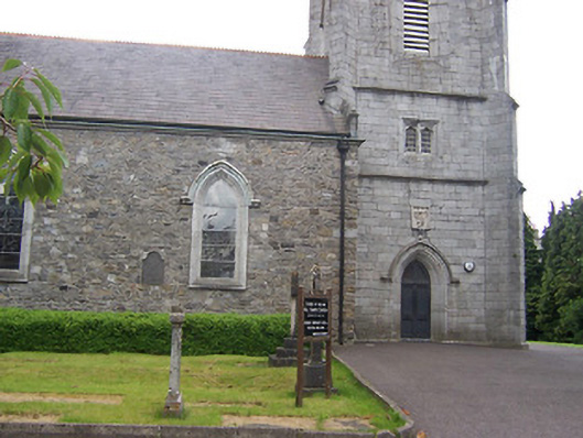 All Saints' Church (Mullingar)church/chapel · 39 yd
 Petits Castle Mote & Mill (Site of)Castle, unclassified · 137 yd
 Courthouse in MullingarCourthouse · 143 yd
 Priests WellHoly well · 182 yd
 Site of CastleCastle, unclassified · 232 yd
 Augustinian Monks Memorial StatueMemorial · 252 yd
 The Chimera GalleryGallery · 260 yd
 Famine MemorialMemorial · 301 yd
 Mullingar Cathedral MuseumMuseum · 504 yd
 Saint Brigid's WellSpring · 1.8 mi
 Lady's IslandWood · 2.8 mi