What is recorded here
The Urban Survey of Limerick (Bradley et. al. 1989, 182) recorded the following about a 17th century cross-slab in Knockainy graveyard (LI032-141005-); "17th century cross slab. This rectangular limestone slab, which is cracked, is on the ground to the east of the church and tower. It has an eight armed fleur-de-lis cross on steps with a chequer-board pattern. There is no inscription. Dims: L. 222cm W. 93cm T. 18cm (min). Described by Rev. Seymour as following; 'In the churchyard is an uninscribed slab, with a late eight-point cross running down the centre, the arms terminating in a Fleur-de-lys' (Seymour 1907-9, 398).
Late 16th/ early 17th century recumbent floriated graveslab located 9m E of the bell-tower of St. John's Church (LI032-141004-) in Knockainy graveyard (LI032-141005-) and 6.4m N of 17th century chest tomb/altar (LI032-141013-). Rectangular slab decorated with an eight-armed ringed cross with central roundel and fleur-de-lis terminals carved in false relief rising from a stepped base decorated with a chequerboard pattern.
Compiled by: Caimin O'Brien
Date of upload: 26 April 2019
17th-century Christian cross slab, associated with early modern funerary practices; significant as a rare surviving example of post-medieval gravemarker in the region.
The monument record does not grant public access. Check the route and ask the landowner before entering private land.
- What survives
- Recorded monument
Places near here
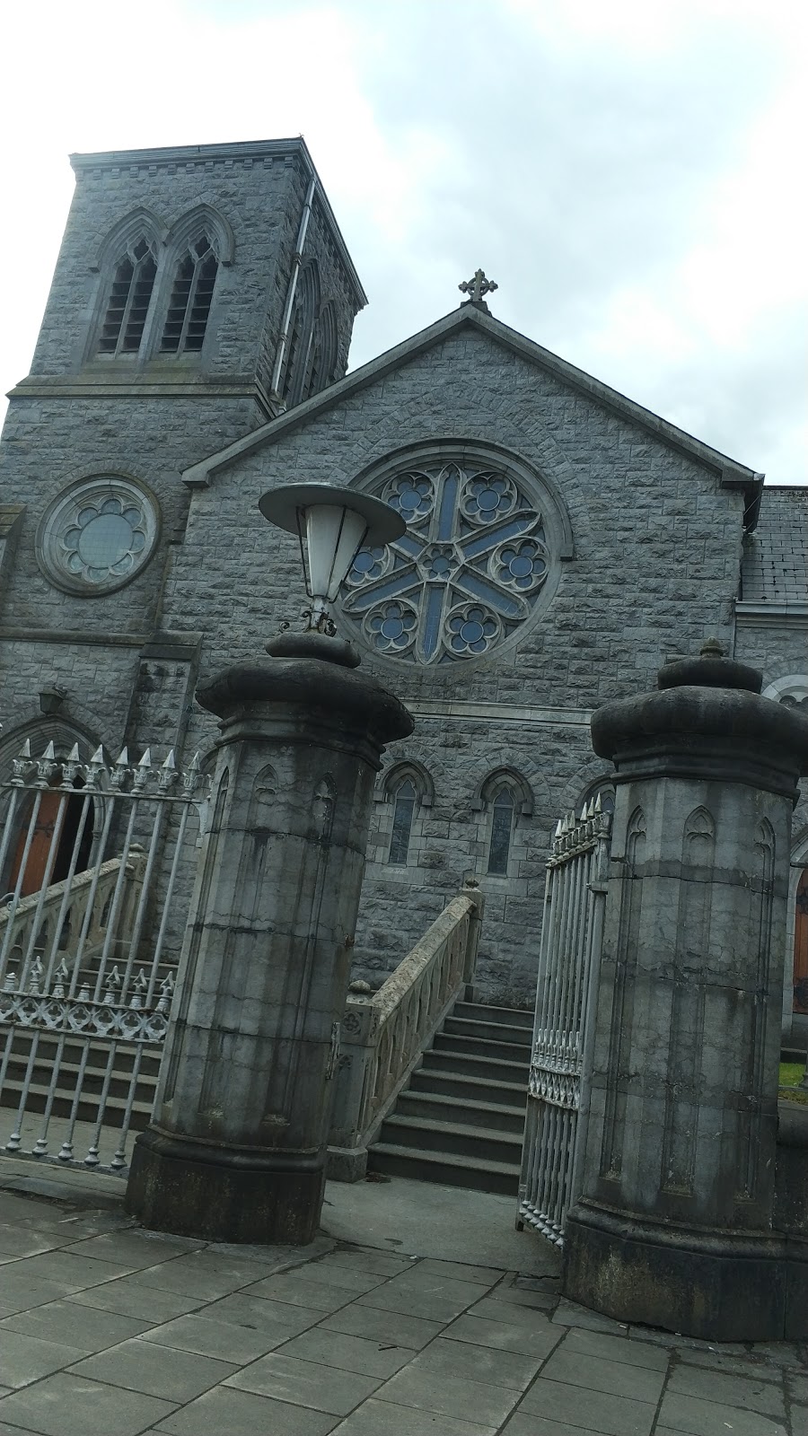 Church in Knockainy WestChurch · 7 yd
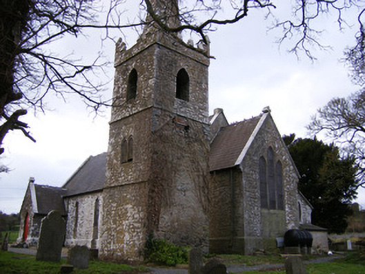 Saint John's Church (Knockainy)church/chapel · 28 yd
 Desmond Castle (in ruins)Castle, unclassified · 140 yd
 Knockainy Castle (in ruins)Castle, tower house · 209 yd
 Flat cemetery in Knockainy WestFlat cemetery · 856 yd
 Doonainy, HachuredMound · 901 yd
 KnockainyMountain / peak · 902 yd
 Mullach an Triuir - HachuredBarrow, ring-barrow · 964 yd
 Glen BogForest · 2.0 mi
 St Patrick's WellSpring · 4.0 mi
 Kilteely HillMountain / peak · 4.1 mi
 St. Patrick's WellSpring · 4.6 mi