What is recorded here
The parish church of Killinvoy (RO042-097001-) is within a trapezoidal graveyard (RO042-097002-) defined by masonry walls, which contains a wedge-shaped graveslab (L 1.8m; Wth 0.45-0.57m; T 008-0.11m) of Thomas Hinde and Ann Davell with a date of 1685 and two 17th century headstones (RO042-097005-; RO042-097006-). The inscription on the graveslab is in roman capitals in false relief and reads: PRAY FOR THE SOVLS OF THOMAS / HINDE AND ANN DAVELL HIS WIFE / 1638.
See the attached image
Compiled by: Michael Moore
Date of upload: 24 August 2010
A local ancient tomb; wider significance not recorded.
The monument record does not grant public access. Check the route and ask the landowner before entering private land.
- What survives
- Recorded monument
Places near here
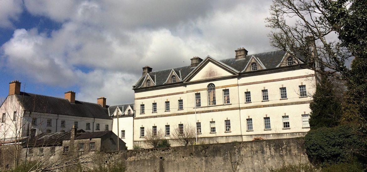 IndicatedCastle, unclassified · 718 yd
 Embanked enclosureFairy fort / earthen ringfort · 942 yd
 Scregg Housecountry house · 1.1 mi
 CastleCastle, tower house · 1.1 mi
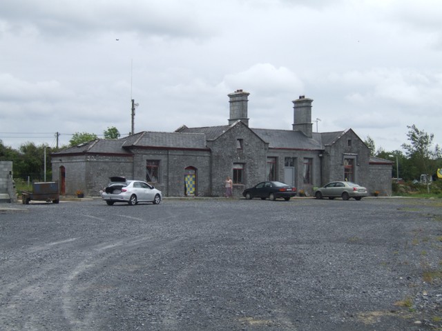 Knockcroghery Railway Stationrailway station · 1.2 mi
 Not inidcatedFairy fort / earthen ringfort · 1.3 mi
 Hangman's HillMountain / peak · 1.8 mi
 Galey BayBay · 1.8 mi
 Blackbrink BayBay · 2.1 mi
 Dogs IslandIslet · 2.8 mi
 InchmoreIslet · 2.8 mi
 St. John's WoodWood · 2.9 mi