What is recorded here
Situated on a natural rise at the base of a stream valley. A burial ground (WI007-029001-) identified as a small square enclosure (dims. 5.8m x 6m) defined by a wall of uncoursed stone with an entrance (Wth c. 1.2m) at the E. It produced an early medieval cross-inscribed graveslab (possibly covering a long cist) (designated WI007-029002-), a fragment of another (designated WI007-029003-) and two simple granite crosses one with a small inscribed Latin cross (now in the NMI) (designated WI007-029004- and WI007-029005-). Not visible at ground level. (Kilbride-Jones 1939, 173-6)
The above description is derived from the published 'Archaeological Inventory of County Wicklow' (Dublin: Stationery Office, 1997). In certain instances the entries have been revised and updated in the light of recent research.
Date of upload: 19 November 2012
A portal dolmen dating to the Neolithic period; it represents an early form of megalithic tomb construction associated with communal burial practices in Ireland.
The monument record does not grant public access. Check the route and ask the landowner before entering private land.
- What survives
- Recorded monument
Places near here
 Cross in Kilbride (rathdown By.)Cross · 1 yd
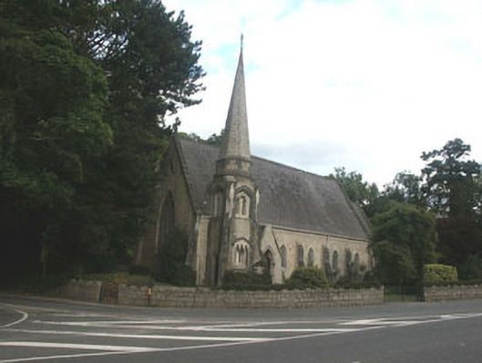 Saint Brigid's Church (Kilbride)church/chapel · 203 yd
 Church (in Ruins)Church · 208 yd
 IndicatedCastle, tower house · 905 yd
 CrossCross · 1169 yd
 Lover's LeapNamed rock · 1294 yd
 European YewEuropean Yew · 1657 yd
 Monterey CypressMonterey Cypress · 1687 yd
 Oldcourt CastleCastle · 1732 yd
 Graveyard in BallymanGraveyard · 1.3 mi
 Johnny Fox's MemorialMemorial · 1.4 mi
 The Sugar Loaf WayWalking route · 2.2 mi