What is recorded here
In a graveyard (KD019-006002-). Discovered in 1990 by Mr. Brian Mc Cabe (1991, 218-21), lying face down, c. 8m W of Kerdiffstown Church (KD019-006001-). A gently tapering, granite slab (dims. L 1.22m; Wth at top 0.46m; Wth at base 0.32m; T at top 0.2m; T at base 0.16m) bears an incised, floriate cross on one face and dates to the 13/14 c.
Compiled by: Gearóid Conroy
Date of upload: 10 June 2011
The monument record does not grant public access. Check the route and ask the landowner before entering private land.
- What survives
- Recorded monument
Places near here
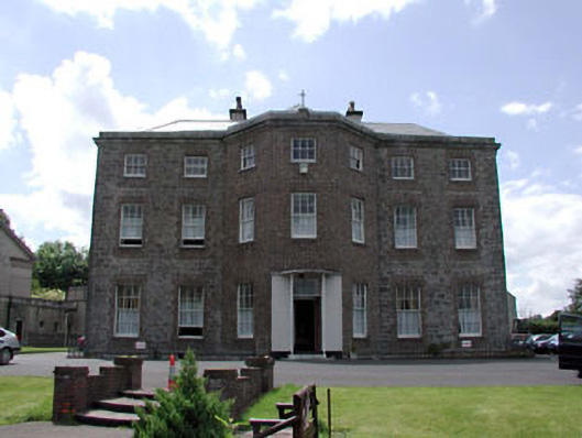 Kerdiffstown Househouse · 451 yd
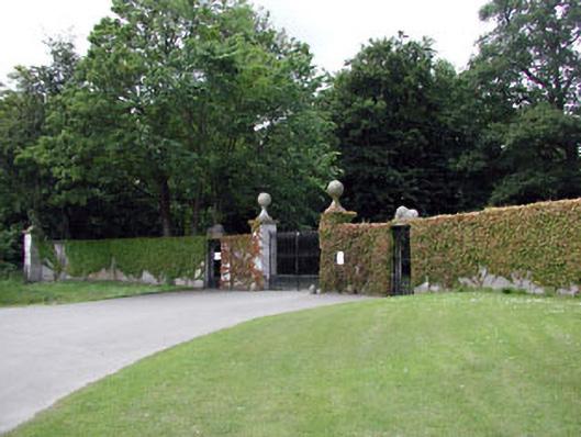 Palmerstown Housedemesne walls/gates/railings · 866 yd
 Enclosure in Greenhills (kill Ed)Enclosure · 1634 yd
 Naas ParkWood · 1.2 mi
 Monread District Park WoodsWood · 1.3 mi
 Sallins LodgeCastle, tower house · 1.3 mi
 Enclosure in Forenaghts GreatEnclosure · 1.4 mi
 Kill MoatCastle, motte and bailey · 1.8 mi
 Poplar SquarePicnic place · 2.1 mi
 Cupidstown HillMountain / peak · 5.7 mi
 Athgoe HillMountain / peak · 5.7 mi
 Saint Finian's WellSpring · 6.2 mi