What is recorded here
The church was demolished before 1838 and replaced by the present Church of Ireland parish church. Bradley and King (1989, 39-40) record that 'the graveyard has been turned into a public park with the gravestones arranged around the walls.' Three seventeenth century graveslabs survive. This slab bears an inscription to Will(iam) . . . (?) ob. 167(?). See also WI015-016003- and WI015-016004-.
The above description is derived from the published 'Archaeological Inventory of County Wicklow' (Dublin: Stationery Office, 1997). In certain instances the entries have been revised and updated in the light of recent research.
Date of upload: 19 December 2011
The monument record does not grant public access. Check the route and ask the landowner before entering private land.
- What survives
- Recorded monument
Places near here
 Church (Site of)Church · 5 yd
 Dunlavin Market Housemarket house · 41 yd
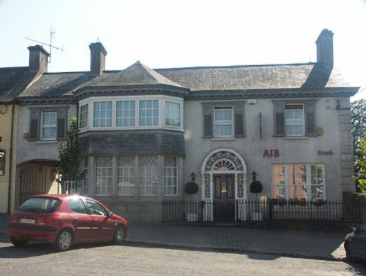 Bank Househouse · 161 yd
 Memorial to 1798 rebellionMonument · 234 yd
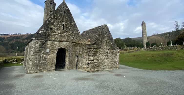 Enclosure in Tornant LowerEnclosure · 1148 yd
 Site of Fair GreenForest · 1.7 mi
 CastleCastle, unclassified · 1.8 mi
 Castle (in Ruins)House, fortified house · 2.1 mi
 HawthornHawthorn · 3.1 mi
 Burial ground in CrehelpBurial ground · 3.1 mi
 Ballyhook HillMountain / peak · 4.4 mi
 Saint Kevin's CaveMemorial · 4.8 mi