What is recorded here
The following description is derived from both the published 'Archaeological Inventory of County Louth' (Dublin: Stationery Office, 1986) and the 'Archaeological Survey of County Louth' (Dublin: Stationery Office, 1991). In certain instances the entries have been revised and updated in the light of recent research.
Date of upload/revision: 17 July 2007
Site of St Finian's church (LH018-059001-) locally believed to be on hill known as 'Killerdrim'. Burials (LH018-059002-) and possible grave-slabs (LH018-059003-) unearthed here. (CLAJ 1909, 136; SAM 1956, 196-8)
A standing stone grave slab, likely dating to the Early Christian period, associated with a burial site; such slabs are significant for their inscriptions and carvings, providing insight into early Irish funerary practices and literacy.
The monument record does not grant public access. Check the route and ask the landowner before entering private land.
- What survives
- Recorded monument
Places near here
 IndicatedGraveyard · 419 yd
 Man-made underground passage in DrominMan-made underground passage · 456 yd
 Saint Finian's Catholic Churchchurch/chapel · 468 yd
 CastleCastle, motte · 480 yd
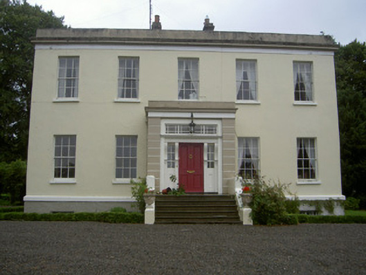 Dromin Housecountry house · 879 yd
 Monterey CypressMonterey Cypress · 1.2 mi
 Graveyard in Richardstown (ardee By., Richardstown Par.)Graveyard · 1.2 mi
 Rocjardstown CastleCastle, tower house · 1.2 mi
 Rathescar Lakeside WalkWood · 1.8 mi
 Graveyard in StickillinGraveyard · 2.9 mi
 Tullydonnell HillMountain / peak · 3.6 mi
 Black HillMountain / peak · 4.7 mi