What is recorded here
Graveslab in Cashelgolan marks Kilmacanny Graveyard, where a broad cross groove still cuts through stone beside a low field. The mound rises two metres above pasture, its edge blurred by time while featureless slabs scatter across its surface. One western slab holds a small oval hole, perhaps guiding water or marking a chosen dead person. The sea lies north and wood shadows the south, giving the graveyard a lonely clarity that invites wonder rather than fear.
Kilmacanny Graveyard (DG065-011001-) consists of a subcircular mound (DG065-011002-) 17m in diameter and up to 2m in height. The mound undulates unevenly and its edge is difficult to determine in some places. There are a number of featureless grave-markers on the mound. One slab (DG065-011003-) on the W side of the mound has a small oval perforation (6.5cms × 4cms). In a ditch along a field boundary to the SE of the mound is a small cross-slab (DG065-011004-) 1.6m × 0.3m at the arms. On one face is a simple cross in relief at the centre of a broad cross-shaped groove. The site is located in a low-lying field with a wooded area to the S and W. To the E is pasture land and to the N the sea.
The above description was derived from the 'Archaeological Survey of County Donegal. A description of the field antiquities of the County from the Mesolithic Period to the 17th century.' Compiled by: Brian Lacey with Eamon Cody, Claire Cotter, Judy Cuppage, Noel Dunne, Vincent Hurley, Celie O'Rahilly, Paul Walsh and Seán Ó Nualláin (Lifford: Donegal County Council, 1983). In certain instances the entries have been revised and updated.
Date of upload: 22 September 2008
A portal tomb, likely dating to the Neolithic period (c. 4000–2500 BCE). It represents an early form of megalithic funerary monument significant for understanding prehistoric burial practices in the region.
The monument record does not grant public access. Check the route and ask the landowner before entering private land.
- What survives
- Recorded monument
Places near here
 Bonny Glen Wood - Bonny Glen walkOfficial walking route · 1406 yd
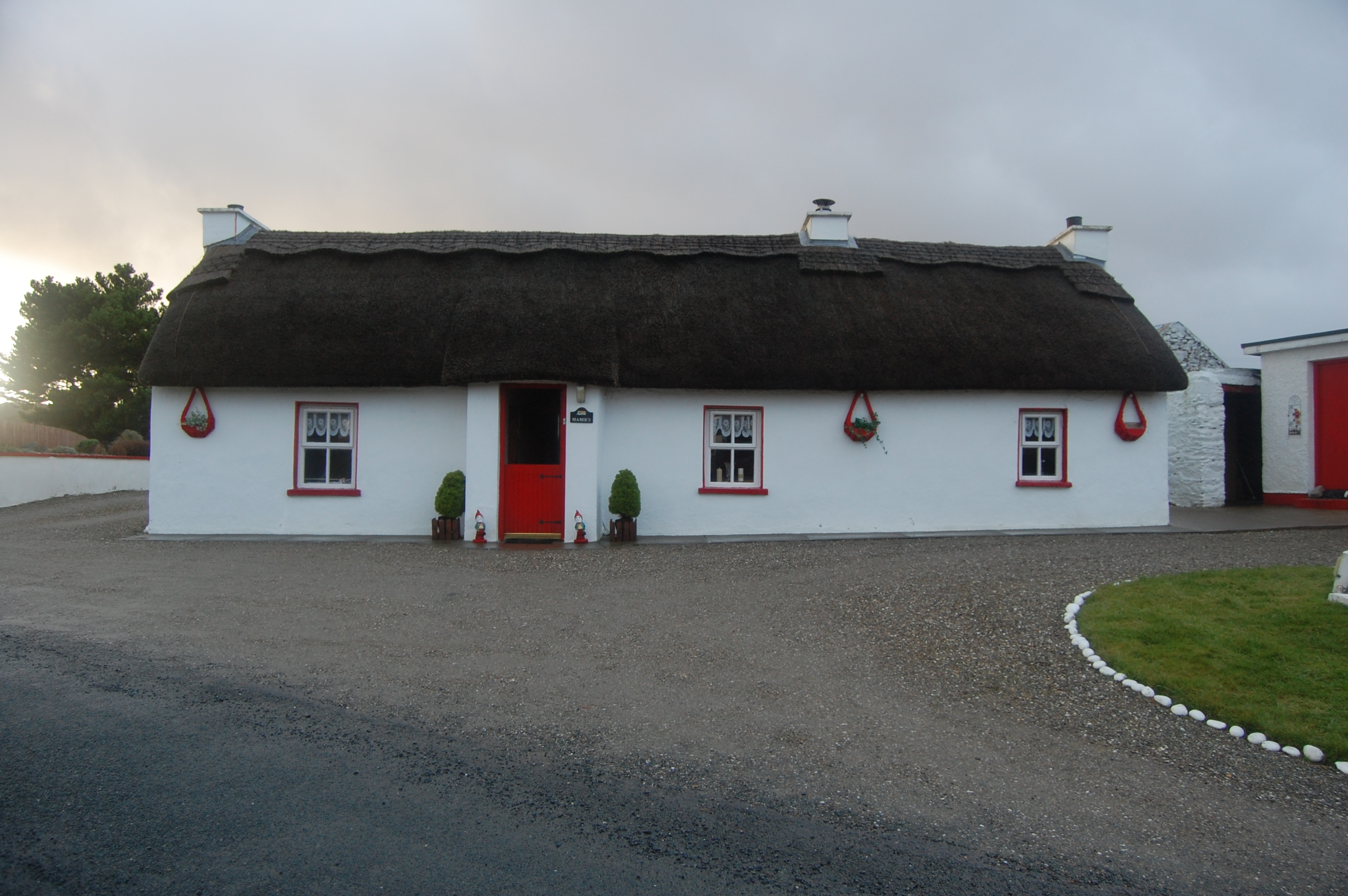 Mamie'shouse · 1406 yd
 Bonny Glen WoodForest recreation place · 1459 yd
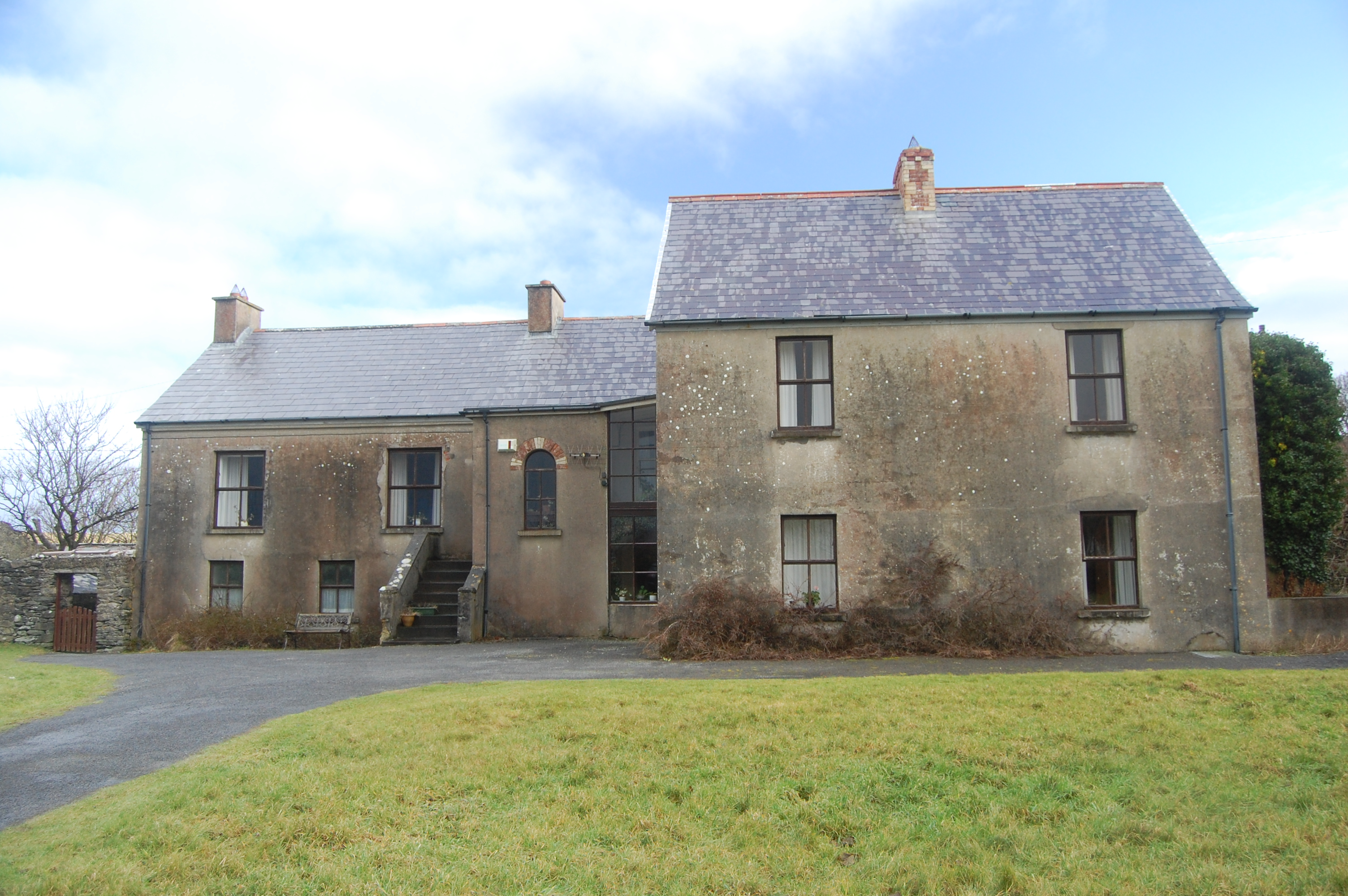 Castlegoland Househouse · 1609 yd
 Former Cullion Fairy FortFairy fort / ringfort · 2.0 mi
 An Chorr Double Stone RingfortFairy fort / stone ringfort · 2.0 mi
 DooeyOfficial bathing water · 2.2 mi
 Narin–Portnoo StrandOfficial bathing water · 2.3 mi
 Wych ElmWych Elm · 2.4 mi
 InishkeelIslet · 2.6 mi
 Doon FortFairy fort / stone ringfort · 3.0 mi
 CastleRuins · 4.5 mi