What is recorded here
Carmelite friary founded c. 1291 by Robert Dillon, Lord of Drumrany (Gwynn & Hadcock 1970, 286). This site consists today of a relatively modern rectangular-shaped graveyard (WM016-019001-) with a seventeenth century wall monument (WM016-019004-) along with post-medieval memorials and the remains of a church (WM016-019----) belonging to the Carmelite friary. In 1979 the site was recorded as consisting of, 'a modern graveyard (WM016-019001-) with a 17th century tomb stone inside' (SMR File 03/07/1979). Late 17th century graveslab (dims. 1.4m x 1m; T 0.18m) lying up against N face of S wall of friary church close to SE corner of graveyard. Wall monument (WM016-019004-) immediately to W of graveslab. Graveslab recorded by Gerard Curran on the 8 April 2014 and listed on Irish Historic Graves website at http://historicgraves.com/ardnacrany-north/wm-acny-0010/grave accessed 9 October 2014. Inscription on graveslab reads as following:
IHS
HERE LYETH THE BODY : OF
THEOBALD : DILLON : ESQR
SON : TO : ROBERT : DILLON : OF
CANNORSTOWN : ESQR
WHO DIED THE : 12 : OF : FEBR
1686 AGED 69 MARGRETT. DILL
ON : ELDEST DAUGHTER TO SIR TE
OBALD : DILLON VISCOUNT OF COSTE
LLOW & GALLEN WAS THIS THEO
BALDS MOTHER
REQUIESCANT IN PACE
Memorials inside graveyard have been recorded and photographed and are now listed on the Historic Graves website at http://historicgraves.com/graveyard/ardnacrany-north/wm-acny, accessed 9 October 2014. See attached pdf showing plan of graveyard, the above graveslab is shown as number 10, taken from Historic Graves website at the above address.
Compiled by and revised: Caimin O'Brien
Date of revision: 15 October 2014
A medieval Christian burial slab, likely 17th century; associated with a Carmelite friary and indicative of early religious settlement in the region.
The monument record does not grant public access. Check the route and ask the landowner before entering private land.
- What survives
- Recorded monument
Places near here
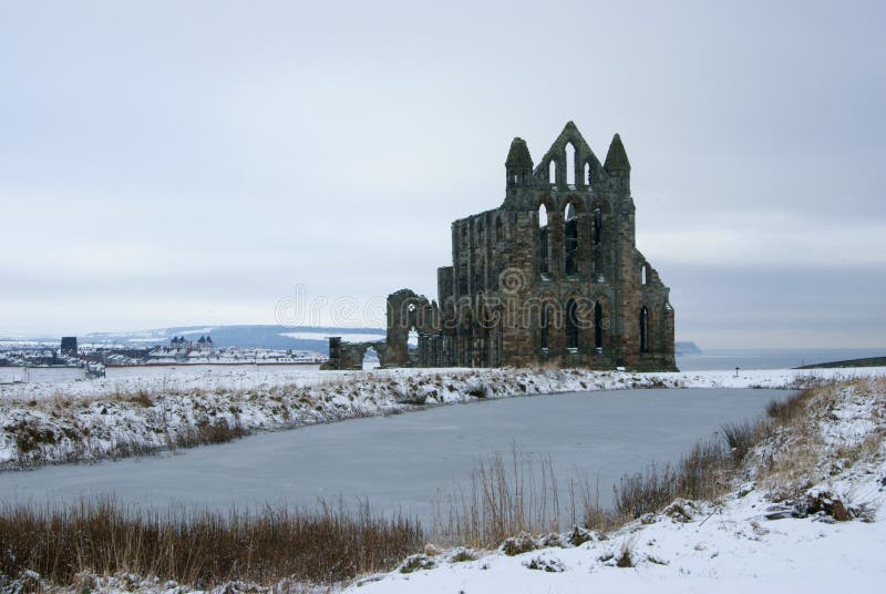 AbbeyReligious house, Carmelite friars · 4 yd
 Field system in Ardnacrany NorthField system · 453 yd
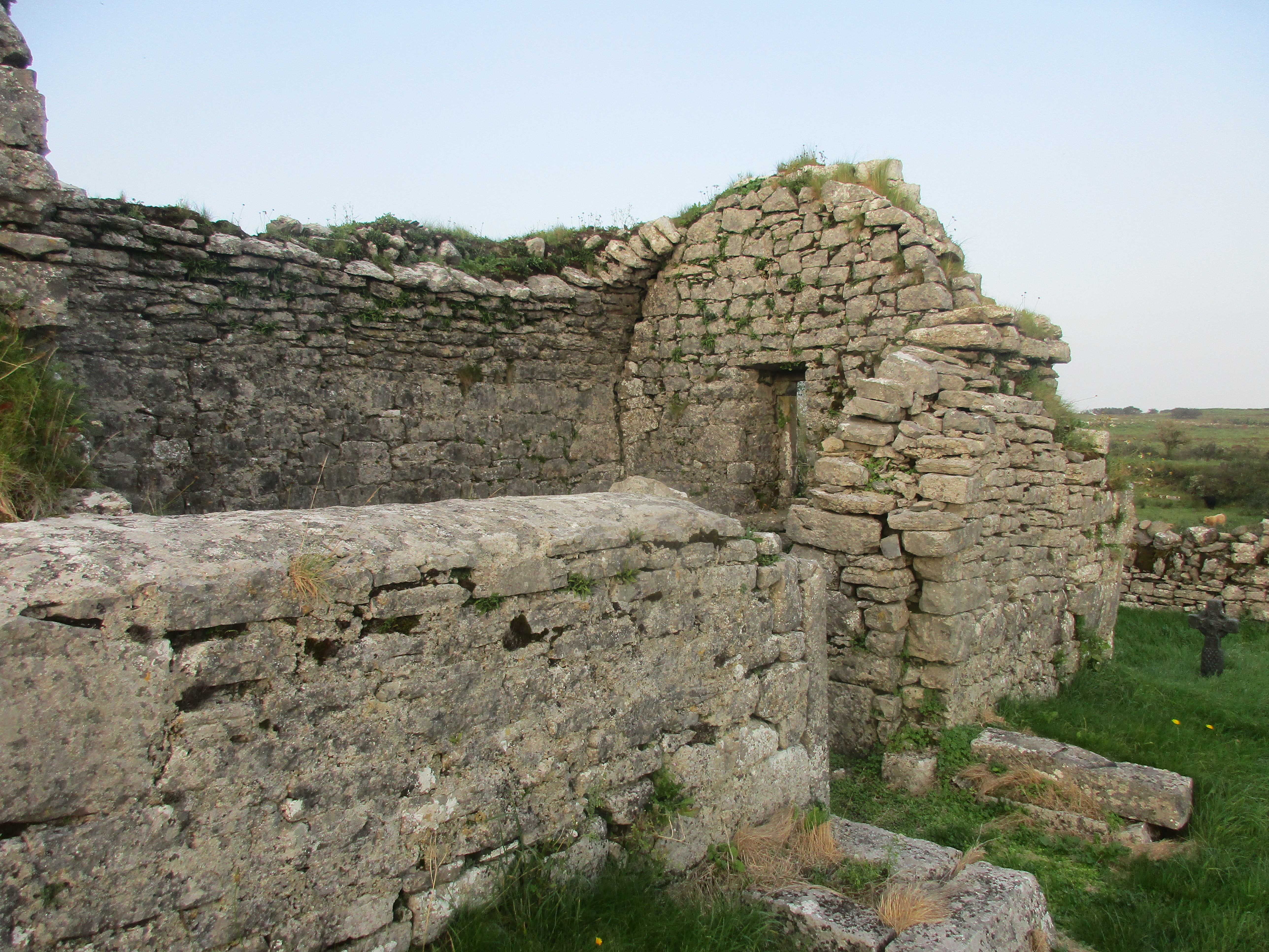 Partially hachuredFairy fort / earthen ringfort · 1164 yd
 Keel Bridgebridge · 1205 yd
 Noughaval CemeteryArchaeological place · 1.0 mi
 European BeechEuropean Beech · 1.9 mi
 CastleCastle, motte and bailey · 2.1 mi
 Ballymulvey Ho.Castle, unclassified · 2.8 mi
 Guest ServicesVisitor information · 3.0 mi
 Craft WorkshopHeritage attraction · 3.1 mi
 Target WoodWood · 3.1 mi
 Newcastle WoodsForest · 3.3 mi