What is recorded here
On Dead Island, close to N shore of Lough Mask and the Galway-Mayo border. Named, but not clearly marked, on 2nd ed. of OS 6-inch map (1899) on S side of the low hillock which forms the bulk of the island. Regarded by local tradition as Famine burials. No visible surface trace survives.
The above description is derived from the published 'Archaeological Inventory of County Galway Vol. I - West Galway'. Compiled by Paul Gosling (Dublin: Stationery Office, 1993).
Date of upload: 05 August 2010
The monument record does not grant public access. Check the route and ask the landowner before entering private land.
- What survives
- Recorded monument
Places near here
 IslandmoreIslet · 510 yd
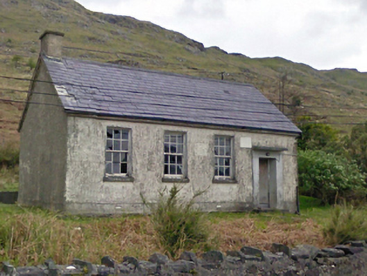 Finny National Schoolschool · 622 yd
 Island BegIslet · 670 yd
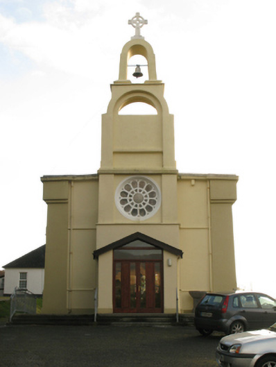 Catholic Church of the Immaculate Conceptionchurch/chapel · 1013 yd
 IndicatedEnclosure · 1626 yd
 Hilltop enclosure in An ComarHilltop enclosure · 1.2 mi
 BencorraghMountain / peak · 2.0 mi
 Doon RockNamed rock · 2.2 mi
 Binn ShléibheMountain / peak · 2.8 mi
 Joyce Country SheepdogsHeritage attraction · 3.8 mi
 Ballindeonagh Castle (in ruins)Castle, unclassified · 4.0 mi
 CastlekirkCastle · 5.1 mi