What is recorded here
Gravel Pit is a circular grass-covered earthwork in County Monaghan, marked on the 1834 Ordnance Survey map and still defined by a low bank, a central dome and a road edge. It sits on a slight rise near Rafinny Lough, where the ground leans toward water and memory. A gravestone was once found there, though it has vanished; the pit may have been a buried chamber, a forgotten shrine or merely a place where stones were taken and never replaced.
Located on a rise in a slight col with higher ground to the WSW (c. 220m), E (c. 400m) and SE (c. 350m) but the E end of Rafinny Lough is c. 200m to the N. It is described as a ‘Gravel Pit’ in italic lettering on the 1834 edition of the OS 6-inch map. This is a raised circular, grass-covered area (diam. c. 30m E-W; c. 30m N-S; 21m) defined by an earthen bank (Wth 3.7m; int. H 0.5m) NE-S-W and by a road bank elsewhere. At the centre is a domed area (diam. 8m; H c. 0.5m). What is described locally to be a gravestone is said to have been found here but its present location is not known.
Date of revised upload: 23 February 2018
The monument record does not grant public access. Check the route and ask the landowner before entering private land.
- What survives
- Recorded monument
Places near here
 Megalithic tomb in LatnamardMegalithic tomb · 261 yd
 Saint Mary's Catholic Churchchurch/chapel · 972 yd
 Cromlech CarnCourt tomb · 1054 yd
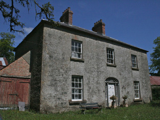 Drumbrean Cottagehouse · 1.4 mi
 Lisarrilly HillMountain / peak · 2.4 mi
 Roosky Castle (Site of)Castle, ringwork · 2.9 mi
 Rossmore MausoleumHeritage attraction · 3.4 mi
 Dagda's CauldronHeritage attraction · 3.5 mi
 Tomb HillMountain / peak · 3.9 mi
 Hazel WoodWood · 4.0 mi
 Jaundice WellSpring · 4.6 mi
 Rabbitburrow WoodWood · 5.4 mi