What is recorded here
Grave Yd is a disused graveyard in County Cork, Ireland, where burials continued until 1876 and the church disappeared before 1900. It lies within the demesne of Mitchelstown Castle and the grounds of Dairygold Co-operative plant, marked today by a low brick wall, grass, and a few re-set headstones near the southeast corner. The place has been shaped repeatedly by human choice and neglect, including earthmoving that damaged an 18th-century Ryder family vault in 1982 and trench work that uncovered a possible vaulted tomb in 1998.
In demesne of Mitchelstown Castle (14918), in grounds of Dairygold Co-operative plant. Roughly square graveyard (L c. 30m) enclosed by low brick wall erected c. 1900. Depicted on 1842 OS 6-inch map as oval graveyard (c. 50m NNW-SSE; c. 40m ENE-WSW), defined by broken line and surrounded by wooded area, with rectangular structure (c. 12m E-W; c. 7m N-S), also defined by broken line, and marked 'Church (Site of)' (14445) in NW corner. Graveyard no longer in use; interior in grass; number of headstones lying on ground near SE corner, including three which have been re-set close together. Burials continued until graveyard closed in 1876; church demolished prior to 1900; interior of graveyard bulldozed c. 1949-50; local tradition that headstones dumped into nearby lake; 18th-century burial vault of Ryder family damaged by earthmoving machinery in 1982 (pers. comm. B. Power). Possible 18th/early 19th century vaulted tomb uncovered during trench digging along southern perimeter wall of graveyard in April 1998 (Cleary 1998).
The above description is derived from the published 'Archaeological Inventory of County Cork. Volume 4: North Cork' (Dublin: Stationery Office, 2000). In certain instances the entries have been revised and updated in the light of recent research.
Date of upload/revision: 14 January 2009
The monument record does not grant public access. Check the route and ask the landowner before entering private land.
- What survives
- Recorded monument
Places near here
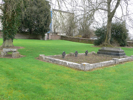 graveyard/cemeterygraveyard/cemetery · 3 yd
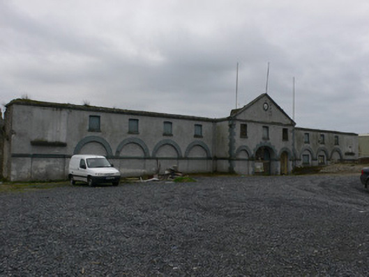 farmyard complexfarmyard complex · 66 yd
 White Knights Tower (Site of)Castle, unclassified · 124 yd
 Burnt mound in MitchelstownBurnt mound · 783 yd
 Grave YardGraveyard · 808 yd
 John MandevilleMemorial · 906 yd
 Mitchelstown Town MapVisitor information · 912 yd
 Statue of Saint FanahanMemorial · 1063 yd
 Carriganoura Castle (in Ruins)Castle, tower house · 1.8 mi
 Ballyarthur HillMountain / peak · 3.2 mi
 FlagCave · 3.3 mi
 Kilclooney WoodWood · 4.7 mi