What is recorded here
Situated on a level landscape and on the N side of a minor cul-de-sac road. The parish church of Kilmacree (WX042-032001-) is within a subrectangular graveyard (dims c. 45m E-W; c. 30m N-S) defined by earthen banks and hedges. The font (WX042-032003-) from this site is now (WX042- 033002-) at the remains of the Roman Catholic church at Ballykelly (WX042-033001-), c. 600m to the N.
Compiled by: Michael Moore
Date of upload: 28 May, 2103
The monument record does not grant public access. Check the route and ask the landowner before entering private land.
- What survives
- Recorded monument
Places near here
 graveyard/cemeterygraveyard/cemetery · 5 yd
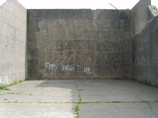 church/chapelchurch/chapel · 655 yd
 Windmill in Ballykilliane,sheepwalkWindmill · 1671 yd
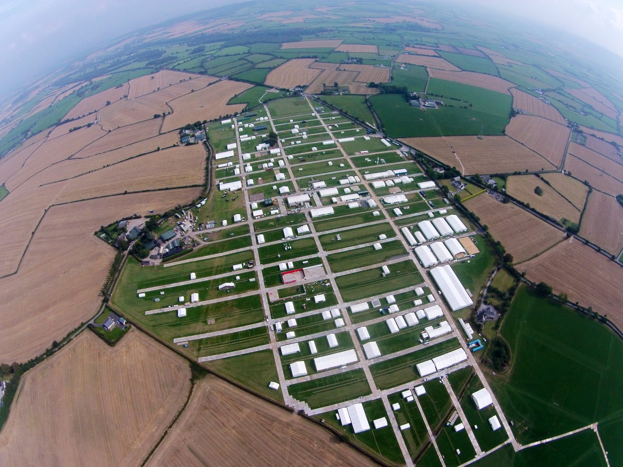 Field system in RingaheenField system · 1.2 mi
 Ballyrane Castle (in ruins)Castle, tower house · 1.7 mi
 CastleRuins · 2.0 mi
 Johnstown Castle Visitor CentreHeritage attraction · 2.2 mi
 Irish Agricultural MuseumMuseum · 2.2 mi
 Japanese cedarJapanese cedar · 2.3 mi
 American SweetgumAmerican Sweetgum · 2.3 mi
 16th Irish DivisionMemorial · 3.6 mi
 1798 Memorial PlaqueMemorial · 4.3 mi