What is recorded here
Immediately E of a public road, c. 50m N of Killaloe Bridge. A rectangular graveyard (dims. 20m N-S; 42m E-W) enclosed by a stone wall, with a stile and, c. 2m to the N, a wrought-iron double-leaf vehicular gate between square-plan stone piers on the roadside. The interior is raised by c. 1.5m above the surrounding ground level. The associated medieval church (KK022-018005-) is not visible at ground level. There are two medieval graveslabs (KK022-018002-; KK022-018004-) in the graveyard which is quite densely populated with 18th,19th and 20th-century headstones.
Compiled by: Jean Farrelly
Date of upload: 24 May 2021
The monument record does not grant public access. Check the route and ask the landowner before entering private land.
- What survives
- Recorded monument
Places near here
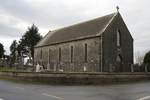 Church in KillaloeChurch · 62 yd
 Saint Molua's Catholic Churchchurch/chapel · 62 yd
 TobermoluaHoly well · 266 yd
 Enclosure in BallywalterEnclosure · 1475 yd
 Castle (in ruins)Castle, unclassified · 1.7 mi
 CastleCastle, unclassified · 1.8 mi
 Ballykeefe AmphitheatreHeritage attraction · 2.0 mi
 Ballykeefe QuarryCliff · 2.0 mi
 Common LimeCommon Lime · 2.1 mi
 GreatwoodForest · 2.1 mi
 Edmund Rice Heritage CentreMuseum · 2.1 mi
 Local LifeVisitor information · 2.5 mi