What is recorded here
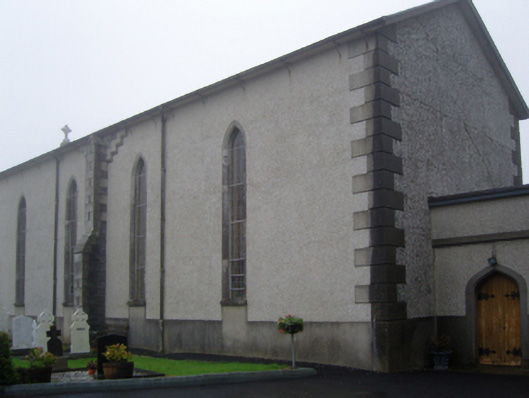
Located in the valley of a small NW-SE stream on the S bank. The parish church of Kildavin (WX042-015001-) is within an overgrown subcircular graveyard (dims 41m E-W; 33m N-S) defined by a masonry wall. The font (WX042-015003-) is within the nave of the church.
Archaeological testing (07E0821) c. 45m to the S produced no related material (Dehaene 2010).
Compiled by: Michael Moore
Date of upload: 29 May, 2013
Amended: 21 January, 2014
The monument record does not grant public access. Check the route and ask the landowner before entering private land.
- What survives
- Recorded monument
Places near here
 graveyard/cemeterygraveyard/cemetery · 4 yd
 St. Davins WellHoly well · 181 yd
 Saint Catherine's Catholic Churchchurch/chapel · 516 yd
 Dawn RedwoodDawn Redwood · 953 yd
 CastleCastle, tower house · 1062 yd
 Japanese cedarJapanese cedar · 1147 yd
 Irish Agricultural MuseumMuseum · 1304 yd
 Johnstown Castle Visitor CentreHeritage attraction · 1307 yd
 St. Catherines WellHoly well · 1382 yd
 Bawn in Newcastle (bargy By.)Bawn · 2.2 mi
 CarrickadeeMountain / peak · 2.4 mi
 Forth MountainMountain / peak · 2.5 mi