What is recorded here
Grave Yd holds a ruined church and unforgotten dead beside the Awbeg River. The Freeman chest tomb survived inside the broken walls, dated 1741, while ordinary markers faded without names. A scarped edge stretches beyond the present bank, suggesting the graveyard once covered more land before pasture and time took the difference back.
In pasture, atop low ridge above Awbeg River to E. Rectangular graveyard (c. 24m WSW-ENE; c. 32m NNW-SSE), interior slightly raised to S (H 0.5m), enclosed by eroded earth and stone bank (max. H 0.7m). Entrance through gap in bank at N end of E side. Ruin of parish church of Kilbroney (14426) N of centre. No longer in use; low uninscribed gravemarkers noted to S and NE of church. Chest tomb of Freeman family within church, dated 1741. Scarped edge, following uneven line, c. 20m outside present limit of graveyard to E, S and W, suggests graveyard may once have covered larger area.
The above description is derived from the published 'Archaeological Inventory of County Cork. Volume 4: North Cork' (Dublin: Stationery Office, 2000). In certain instances the entries have been revised and updated in the light of recent research.
Date of upload/revision: 14 January 2009
The monument record does not grant public access. Check the route and ask the landowner before entering private land.
- What survives
- Recorded monument
Places near here
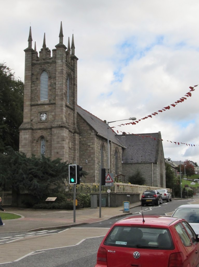 Kilbroney Church (in Ruins)Church · 6 yd
 Velvetstown Housedemesne walls/gates/railings · 619 yd
 Lisheen a ThouraFairy fort / earthen ringfort · 1053 yd
 Ballinguile Castle (in Ruins)Castle, tower house · 1073 yd
 Burial Ground (Disused)Burial ground · 1266 yd
 Castle (Site of)Castle, unclassified · 1.4 mi
 Rogan's Rock CovertWood · 1.5 mi
 Ballyhoura WayWalking route · 1.8 mi
 Buttevant Rail DisasterMemorial · 2.1 mi
 David HurleyMemorial · 2.3 mi
 SycamoreSycamore · 2.3 mi
 Lady's WellSpring · 4.4 mi