What is recorded here
In the lowlying river valley of the River Suir, c. 400m S of Marlfield village which is two miles W of Clonmel. Associated with Inishlounaght Cistercian Abbey (TS083-017----), this roughly rectangular graveyard (dims. c. 150m NE-SW; c. 45m NW-SE) is situated at the eastern end of an avenue (L c. 90m) and surrounds the present C of I church. Three early graveslabs (TS083-017005-; TS083-017006-; TS083-017010-), portion of an effigial tomb (TS083-017012-) and a panel from a chest tomb (TS083-017011-) have been identified in the graveyard. A number of features (TS083-017001-; TS083-017002-; TS083-017003-) from the Cistercian Abbey and a medieval graveslab (TS083-017004-) are located within the C of I church.
Compiled by: Jean Farrelly
Date of revised upload: 20 September 2017
The monument record does not grant public access. Check the route and ask the landowner before entering private land.
- What survives
- Recorded monument
Places near here
 Crusader's GraveHeritage attraction · 29 yd
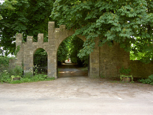 Saint Patrick's Church (Inishlounaght)gates/railings/walls · 180 yd
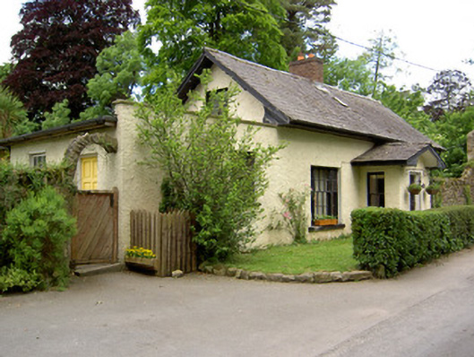 Church Lodgegate lodge · 204 yd
 Common LimeCommon Lime · 659 yd
 European ashEuropean ash · 996 yd
 Greenan MoteEnclosure · 1075 yd
 Greenan Castle (in Ruins)House, fortified house · 1105 yd
 Site of Grave YardChurch · 1172 yd
 Kilmacomma HillMountain / peak · 1331 yd
 Toberaheena WellSpring · 1560 yd
 CastleCastle, ringwork · 1.0 mi
 Siege of Clonmelsiege · 1.4 mi