What is recorded here
Situated on a slight N-facing slope on the floor of an E-W valley at the N foot of Bawnfune Hill. The parish church of Kilronan (WA001-024001-) is against the N perimeter of a subrectangular graveyard (max. dims. c. 55m E-W; c. 50m N-S) defined by earth and stone banks. Kilronan Well (WA01-024003-) is c. 70m to the W. (Power 1938a, 58)
Power, Rev. P. (1938a) Some old churches of the Decies, JESAI 68, 55-68.
Compiled by: Michael Moore
Date of upload: 26 August 2010
The monument record does not grant public access. Check the route and ask the landowner before entering private land.
- What survives
- Recorded monument
Places near here
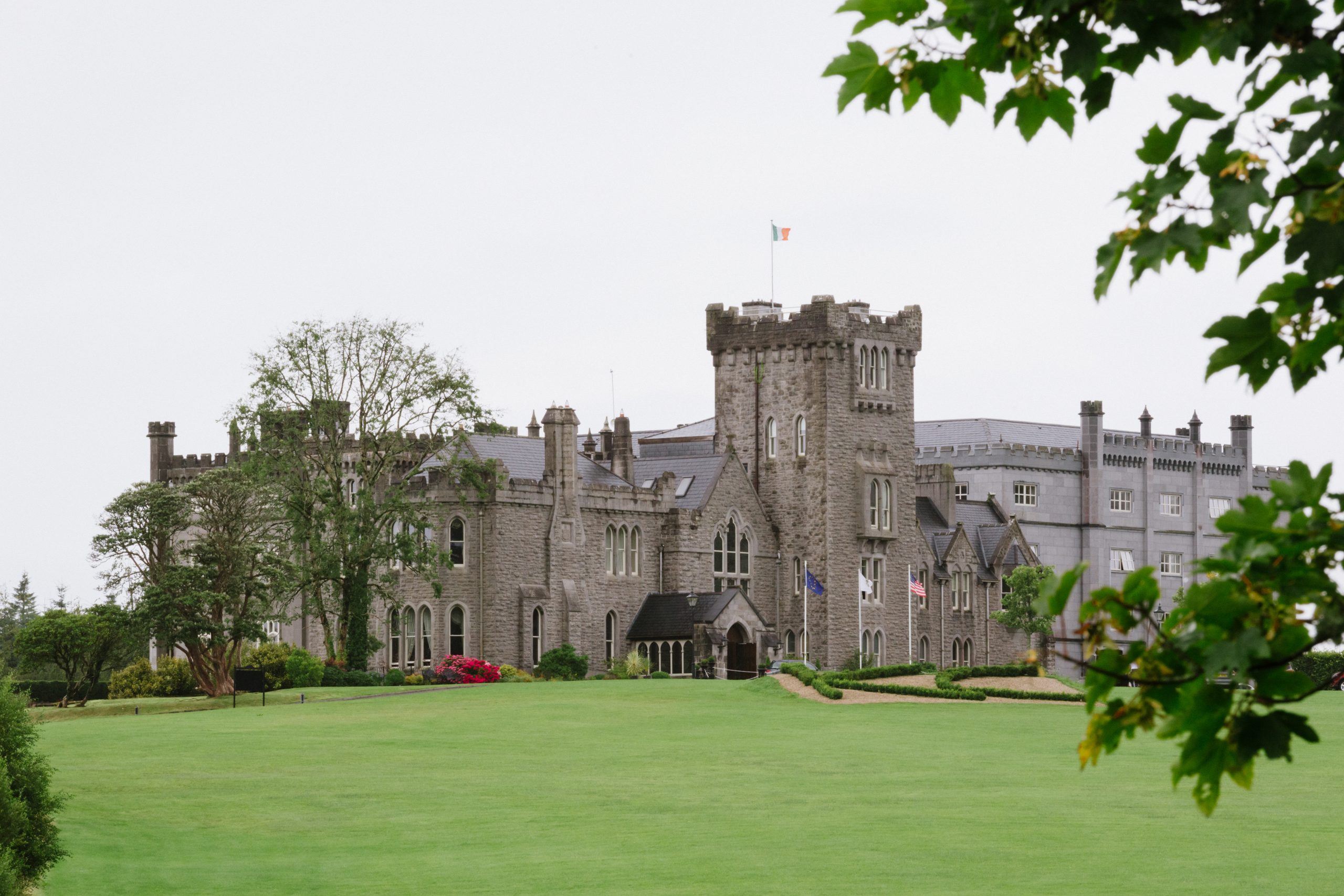 Kilronan Churdh (in ruins)Church · 28 yd
 Man-made underground passage in Bawnfune (glenahiry By.)Man-made underground passage · 1197 yd
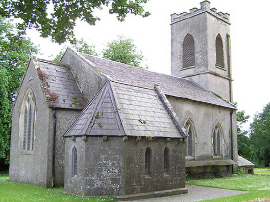 Tullaghmelan Churchchurch/chapel · 1618 yd
 CairnCairn, unclassified · 1.0 mi
 Castle, Kilmanahan CastleCastle, tower house · 1.0 mi
 Hybrid Black PoplarHybrid Black Poplar · 1.3 mi
 Deodar CedarDeodar Cedar · 1.5 mi
 European long distance path E8 - part IrelandWalking route · 1.6 mi
 Kilmacomma HillMountain / peak · 2.2 mi
 Carey's CastleCastle · 2.5 mi
 Scrouthea HillMountain / peak · 3.6 mi
 Grubb's IslandIslet · 3.9 mi