What is recorded here
Long narrow rectangular-shaped graveyard (dims. c. 86m NE-SE; 34m NW-SE) aligned on a NE-SW axis that is enclosed by a wall that is post-1700 in date. The graveyard is located on the demesne lands of Gallstown House located 690m to the NNE. The ruins of a church (WM033-072----) can be seen in the centre of the graveyard. The graveyard contains memorials of post-1700 date and is entered through a gateway located at the W end of the S wall of the graveyard.
Compiled by: Caimin O'Brien
Date of upload: 25 July 2013
The monument record does not grant public access. Check the route and ask the landowner before entering private land.
- What survives
- Recorded monument
Places near here
 Church (in Ruins)Church · 22 yd
 OutlinedEnclosure · 813 yd
 milestone/milepostmilestone/milepost · 1209 yd
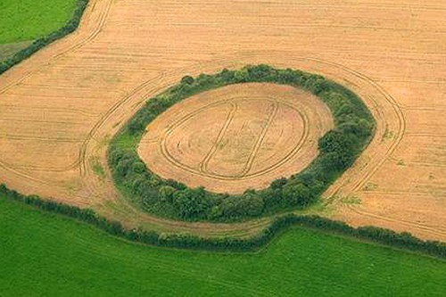 Fairy fort / earthen ringfort in GortumlyFairy fort / earthen ringfort · 1.0 mi
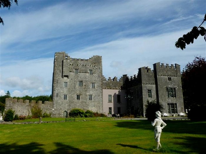 CastleCastle, unclassified · 1.1 mi
 Site of CastleCastle, unclassified · 1.5 mi
 Derrygreenagh HillMountain / peak · 3.0 mi
 Knockdrin HillMountain / peak · 3.6 mi
 Mollie Moo's Pet FarmHeritage attraction · 4.7 mi
 Belvedere house and gardensVisitor information · 4.9 mi
 Blind IslandIslet · 5.3 mi
 Roundhill WoodForest · 9.1 mi