What is recorded here
Grave Yd holds a small L-shaped church and graveyard near the summit of a low ridge, facing the sea through a gap in its stone walls. Most markers remain low and unnamed, though a few headstones from the 1800s and some chest tombs break the quiet uniformity. The place may have served as a remote burial ground for people who valued discretion, or perhaps for those forgotten by larger towns. Either way, the graveyard still keeps its shape on the ridge, waiting for attention it has never received.
Near summit of low ridge with view to SW to sea. Small L-shaped area enclosed by stone wall to NE and SE, stone-faced scarp along roadside to SW; graveyard extended to NW in mid 20th century. Many low, uninscribed gravemarkers; earliest noted inscribed headstones date to 1800s; also some chest tombs. Contains remains of church (CO144-032002-).
The above description is derived from the published 'Archaeological Inventory of County Cork. Volume 1: West Cork' (Dublin: Stationery Office, 1992). In certain instances the entries have been revised and updated in the light of recent research.
Date of upload/revision: 14 January 2009
The monument record does not grant public access. Check the route and ask the landowner before entering private land.
- What survives
- Recorded monument
Places near here
 Ardfield Church (in Ruins)Church · 3 yd
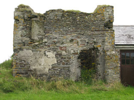 Galley Head Signal Towersignal tower · 186 yd
 St James WellHoly well · 327 yd
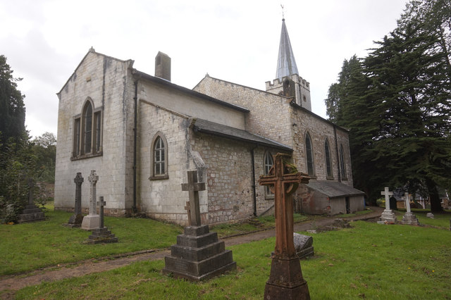 St. James WellSpring · 340 yd
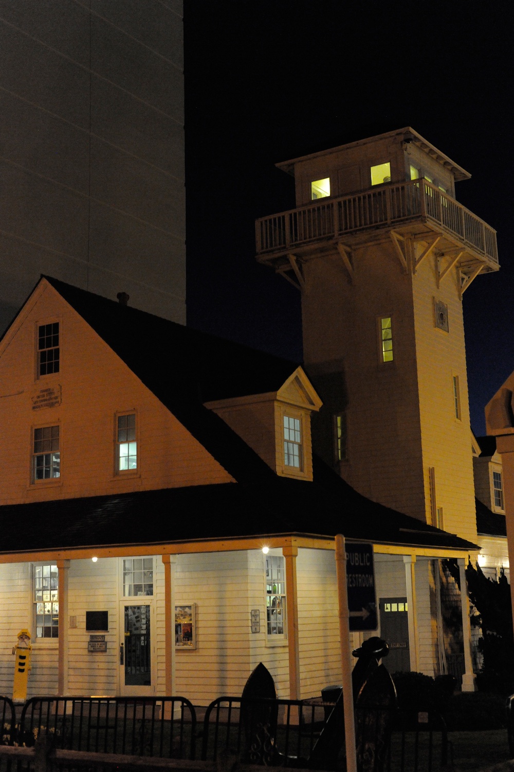 Old Coast Guard StationRuins · 588 yd
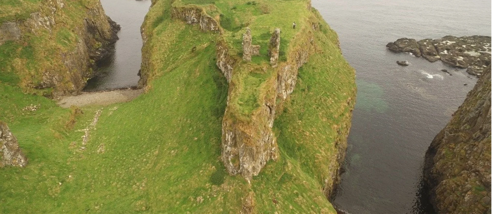 Dunnycove Castle (in Ruins)Castle, tower house · 1432 yd
 Promontory fortPromontory fort, coastal · 1436 yd
 Red StrandBeach / strand · 1.4 mi
 CastleCastle, unclassified · 1.5 mi
 Cottage MuseumMuseum · 2.4 mi
 Long Strand DunesNature reserve · 2.5 mi
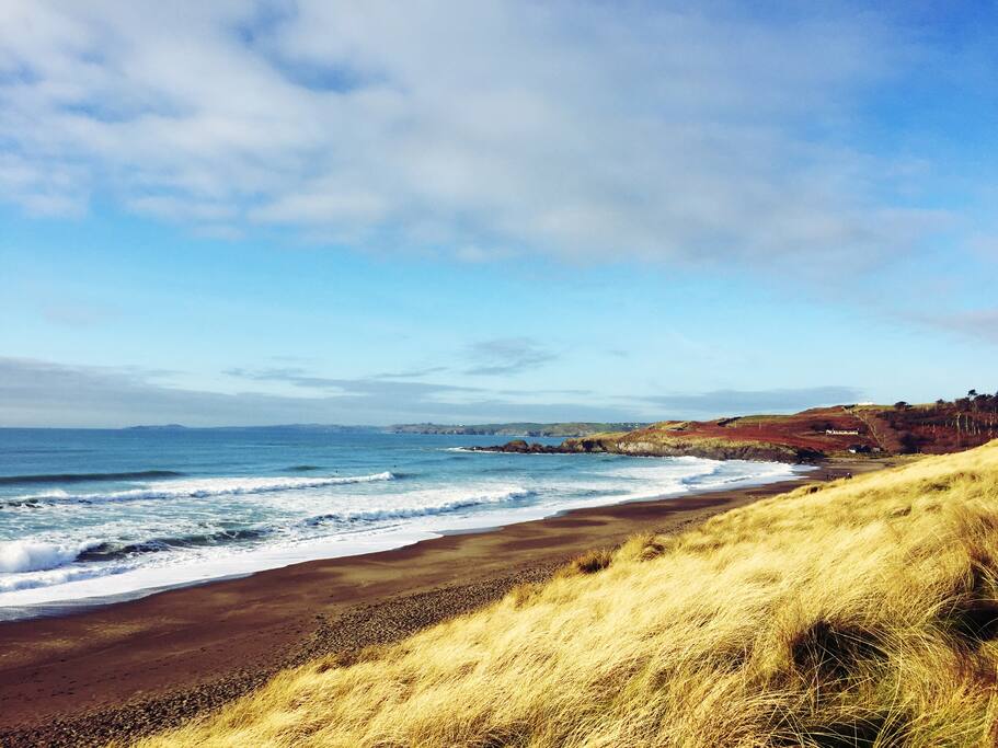 The Long StrandBeach / strand · 2.5 mi