What is recorded here
Situated on a level landscape with a small W-E stream, which feeds into the NW-SE Tolka river c. 1.5km to the E, c. 80m to the S. The medieval parish church of Dunboyne (ME050-021001-) is within a subrectangular graveyard (dims c. 80m N-S; c. 70m E-W) defined by earthen banks (Wth c. 5m; H 0.5-01m) with a N-S stream outside the perimeter at N and W. The headstones date from c. 1780 to the present.
Compiled by: Michael Moore
Date of upload: 13, April, 2015
The monument record does not grant public access. Check the route and ask the landowner before entering private land.
- What survives
- Recorded monument
Places near here
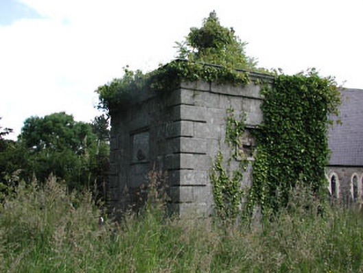 Saint Peter's Church (Dunboyne)mausoleum · 30 yd
 Font in DunboyneFont · 32 yd
 Courthillcountry house · 153 yd
 CastleCastle, ringwork · 236 yd
 EnclosureEnclosure, large enclosure · 994 yd
 Hanwood GardensHeritage attraction · 1.6 mi
 Ash HillMountain / peak · 2.0 mi
 Site of Old CastleCastle, unclassified · 2.7 mi
 Church, GraveyardChurch · 3.3 mi
 TyrrelstownWood · 3.5 mi
 Wesley's WoodsWood · 3.5 mi
 Graveyard in BuzzardstownGraveyard · 3.7 mi