What is recorded here
Grave Yd. (Disused) is an active burial ground on a gentle slope beside the River Liffey, though its marked area has shrunk from roughly seventy to thirty-six metres since the 1930s. A ruined church still stands in the NE sector, watching the low scarp and rail fence that now contain what remains. Burial continues there, meaning the dead are still being added beneath soil that no longer shows their markers.
According to the OSL (Herity 2002, 45 139)), 'Burial is still continued in the graveyard'. On level ground at the top of a long and very gentle W-facing slope in tillage, near the W bank of the River Liffey. A ruined church (KD019-002001-) stands in the NE sector. Recorded on the latest ed. (1938-9) of the OS 6-inch map as a partially enclosed (along E and S), rectangular area (dims. L c. 70m E-W; Wth c. 45m), its extent has been significantly reduced since (dims. L 36.5m E-W; Wth c. 24m). Now enclosed by rail and post fencing, it survives as a slightly raised area defined by a low scarp (H 0.5m), with no obvious trace of grave markers.
Compiled by: Gearóid Conroy
Date of upload: 10 June 2011
The monument record does not grant public access. Check the route and ask the landowner before entering private land.
- What survives
- Recorded monument
Places near here
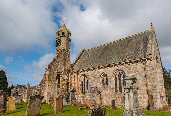 Brides Church (in ruins)Church · 12 yd
 bridgebridge · 1003 yd
 IndicatedCastle, tower house · 1610 yd
 Enclosure in OsberstownEnclosure · 1742 yd
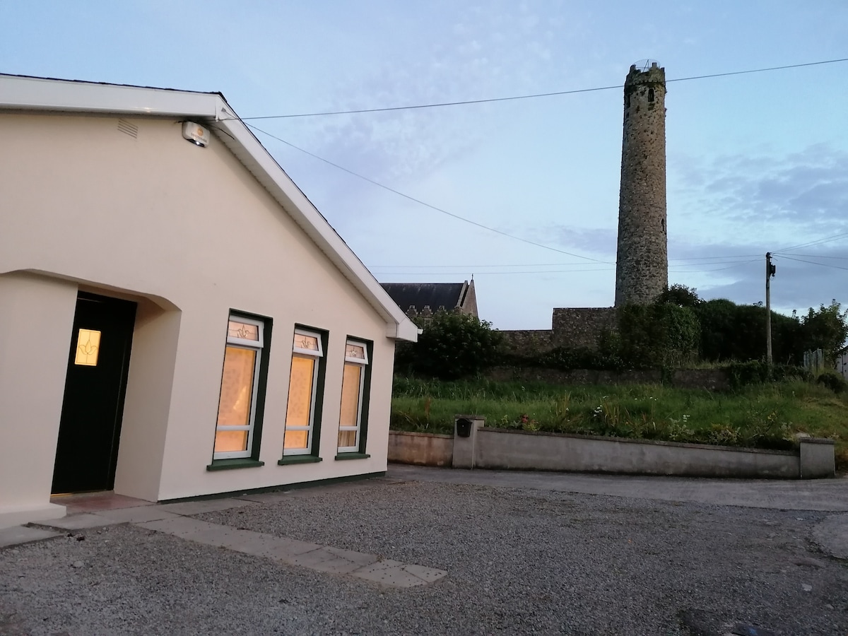 Enclosure in BallysizeEnclosure · 1.1 mi
 Sallins LodgeCastle, tower house · 1.4 mi
 European Crab AppleEuropean Crab Apple · 1.7 mi
 Naas ParkWood · 1.7 mi
 Poplar SquarePicnic place · 2.1 mi
 Newbridge SilverwareMuseum · 6.4 mi
 Athgoe HillMountain / peak · 8.0 mi
 Cupidstown HillMountain / peak · 8.2 mi