
What is recorded here
Immediately S of a church (GA004-002----). On 1st ed. of OS 6-inch map, the church is shown within a small unnamed triangular-shaped enclosure (GA004-002003-) but by the time of 3rd ed. (1930), this has become subcircular (N-S c. 30m, E-W c. 25m) and is labelled 'Grave Yd.'. What survives is a subcircular enclosure…
Read the whole record
From the National Monuments Service (Archaeological Survey of Ireland) record GA004-002001
Places near here
Photo credits
- Maker not stated on source page, en.wikipedia.org
- National Inventory of Architectural Heritage
- David Purchase, Geograph · CC BY-SA 2.0
- Maker not stated on source page, www.dreamstime.com
- Maker not stated on source page, www.pinterest.com
- Maker not stated on source page, www.aroundtheworldl.com
- Maker not stated on source page, www.ancient-origins.net
- Individual drone photographer not stated on club gallery, milltowngaagalway.ie
- Maker not stated on source page, www.visitgalway.ie
 Church (Site of)Church · 1476 yd
Explorer Tom Church in Kilvine was where a priest lost a bet involving a cow and a sack of potatoes. The shame still lingers in the…
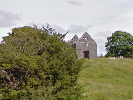 aviary/dovecote/pigeon house1.1 mi
Explorer Tom The aviary in Creevard has a curse that only affects people who don't wave at pigeons. The shell is empty now, but the…
 CastleCastle, unclassified · 1.3 mi
Explorer Tom Castle at Doonmacreena has been hiding a scandal about a stolen chandelier for centuries now. It pretends it never had…
 Doonmacreena BridgeBridge · 1.3 mi
Explorer Tom Doonmacreena Bridge has a very strong opinion of the road that leads to it, basically telling it to slow down or else…
 Church (in Ruins)Church · 1.3 mi
Explorer Tom Church in Kinnakinelly took about four hundred cups of tea to build, according to local legend. It’s just foundation…
 Fairy fort / stone ringfort in QuinaltaghFairy fort / stone ringfort · 1.5 mi
Explorer Tom Hernon's Cahir in Quinaltagh has a drystone wall obscured by rubble from north to southeast. It’s poorly preserved and…
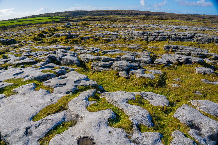 Cloch Breac (Dolmen)Anomalous stone group · 1.6 mi
Explorer Tom Cloch Breac (Dolmen) in Garrafrauns is six stones pretending they’re not just lying around. They claim to be…
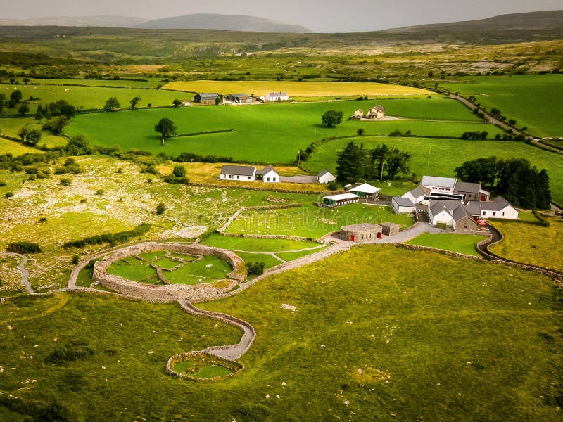 Fairy fort / earthen ringfort in ConagherFairy fort / earthen ringfort · 2.0 mi
Explorer Tom Fairy fort / earthen ringfort in Conagher would buy a boat if it won the lotto. It sits on a slope looking out over the…
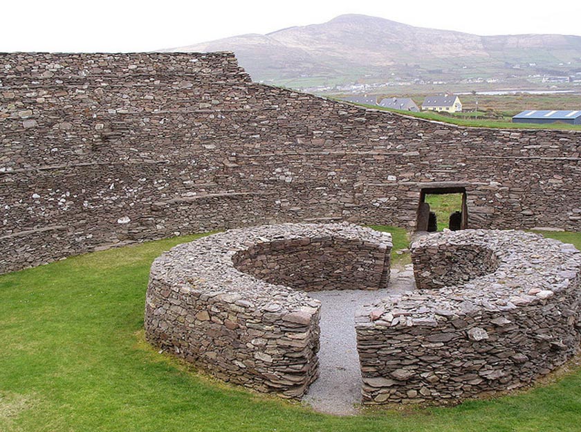 Fairy fort / earthen ringfort in Addergoole BegFairy fort / earthen ringfort · 2.1 mi
Explorer Tom Fairy fort / earthen ringfort in Addergoole Beg is gone, but Neary saw it in 1914, so trust me, it was real. The hero…
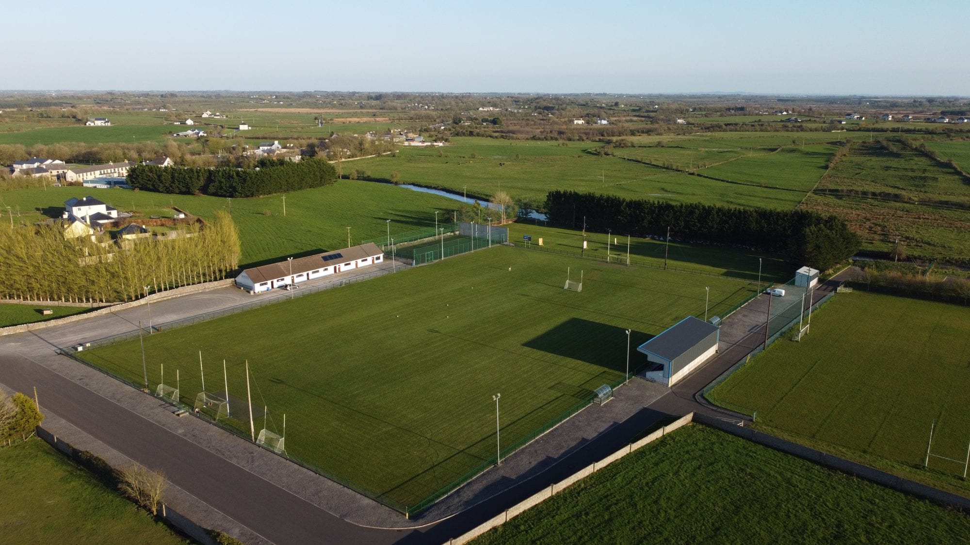 Milltown GAAGAA ground · 4.2 mi
 Castle in ruinsCastle, tower house · 4.7 mi
Explorer Tom Castle in ruins in Kilcloony claims to be from the 15th century, which is a bold lie for two floors of ruin. It was…
 Mapped cemeteryCemetery · 4.7 mi
Explorer Tom Look at this Mapped Cemetery in County Galway! The seagulls are having a fierce debate about whether the headstones…
More archaeology and monuments in County Galway · All of County Galway

What do you know about this place?Tap to add a comment or ask a question