What is recorded here
Situated in undulating countryside. Low earthen mound with headstones dating to post 1700 AD. Rectangular shaped graveyard (int. dims. 35m N-S; 21m E-W) with mound in centre of graveyard enclosed by a stone wall containing post 1700 AD memorials.
The above description is derived from the published 'Archaeological Inventory of County Laois' (Dublin Stationery Office, 1995) compiled by P. David Sweetman, Olive Alcock and Bernie Moran. In certain instances the entries have been revised and updated in the light of recent research.
Date of upload: 17 December 2007
The monument record does not grant public access. Check the route and ask the landowner before entering private land.
- What survives
- Recorded monument
Places near here
 Clonreher CastleCastle · 1532 yd
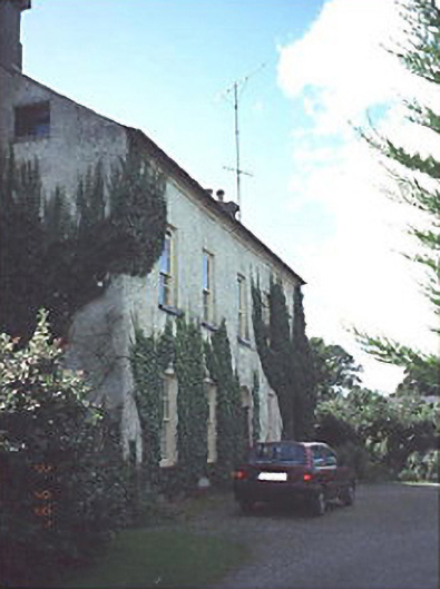 Clonreher Househouse · 1582 yd
 IndicatedEnclosure · 1.2 mi
 Church in KyleclonhobertChurch · 2.0 mi
 Enclosure in KyletaleshaEnclosure · 2.3 mi
 Portlaoise CourthouseMemorial · 2.7 mi
 Burial Ridge of MaryboroughMemorial · 2.8 mi
 Mail Coach StablesCastle, unclassified · 3.8 mi
 SycamoreSycamore · 4.0 mi
 BaunreaghcongMountain / peak · 6.9 mi
 Sweet ChestnutSweet Chestnut · 8.1 mi
 Slieve Bloom MountainsMountain range · 9.3 mi