What is recorded here
Located c. 50m NW of the Sruhnasilloge river which flows southwestward. According to the OS Letters (1839), ‘There is a little obsolete burying ground in the Townland of Kilkiaran but no remains of a Church [KK029-027001-]’ (O’Flanagan 1930, vol. 2, 245 (92)). The church is described by Carrigan (1905, vol. 4, 115-16) as being located, ‘entirely destroyed…The churchyard is covered all over with large rough stones, remains, no doubt, of the walls of the demolished church’.
On the 1st (1839) ed. OS 6-inch map the graveyard is depicted as a small irregular five-sided roughly rectangular area (dims. c. 30m NE-SW; c. 20m NW-SE). On the 1900-01 revision the graveyard is depicted as an unenclosed heart-shaped area (dims. c. 20m N-S; c. 23m E-W).
The graveyard is heavily overgrown with scrub and trees. The church is not visible at ground level but there are a lot of stones strewn around the graveyard. According to Carrigan (ibid. 116) none of the headstones in the graveyard are inscribed. Associated with the church is a bullaun stone (KK029-027003-) and pillar stone (KK029-027006-) within the graveyard and a stoup (KK029-027004-) in an adjacent garden.
Compiled by: Jean Farrelly
Date of upload: 9 March 2022
The monument record does not grant public access. Check the route and ask the landowner before entering private land.
- What survives
- Recorded monument
Places near here
 Site of St. Kierans ChurchChurch · 1 yd
 St. Kieranss WellHoly well · 83 yd
 Site of Brittas CastleCastle, unclassified · 391 yd
 Site of Kilkieran CastleCastle, unclassified · 1055 yd
 Fiddaun Bridgebridge · 1243 yd
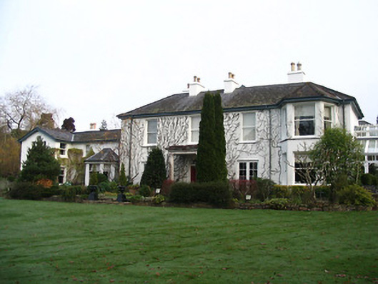 Rockviewhouse · 1495 yd
 Saddle HillMountain / peak · 1.1 mi
 James FrenyMemorial · 1.4 mi
 Graveyard in InistiogeGraveyard · 1.4 mi
 St. Mary's ChurchVisitor information · 1.4 mi
 InistiogeVisitor information · 1.5 mi
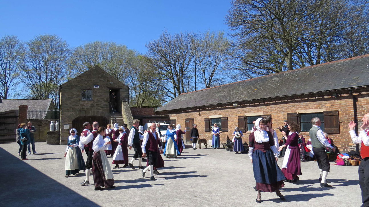 Woodstock Heritage MuseumMuseum · 1.5 mi