What is recorded here
In pasture, located in a glen, on a SW facing slope, in mountainous terrain. There is a stream immediately to E.
This graveyard is indicated on the 1838 and 1920 OS 6-inch maps as a rectangular enclosed area, with a church (MA035-003001-), named Temple Eunna’ incorporated into the W corner of the graveyard wall. The graveyard appears almost square (max. dim. c. 30m) on the 1838 map, but is shown as rectangular (c. 30m NW-SE; c. 20m NE-SW) on the 1920 edition. In the 1940’s The Irish Tourism Survey (unpublished) noted a small, rough cross-inscribed graveslab (MA035-003003-) within the graveyard. An inspection in 1996 found no visible trace of the graveyard. There is a holy well (MA035-004001-), named Tober Eunna, c. 100m to SW.
Compiled by: Jane O'Shaughnessy
Date of upload: 13 March 2018
This remains an important historical record, but the official description says the monument is no longer visible or has been destroyed. The monument record does not grant public access. Check the route and ask the landowner before entering private land.
- What survives
- No visible remains or recorded as destroyed
Places near here
 Temple EunnaChurch · 12 yd
 Cross in Bunmore WestCross · 123 yd
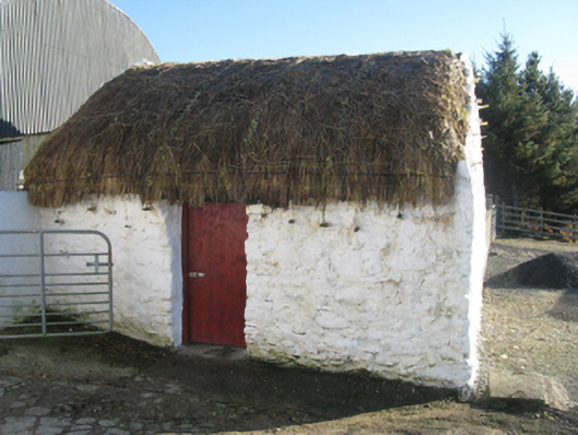 outbuildingoutbuilding · 1.3 mi
 Enclosure in Knockmoyleen (erris By.)Enclosure · 2.2 mi
 Site of CastleCastle, unclassified · 3.8 mi
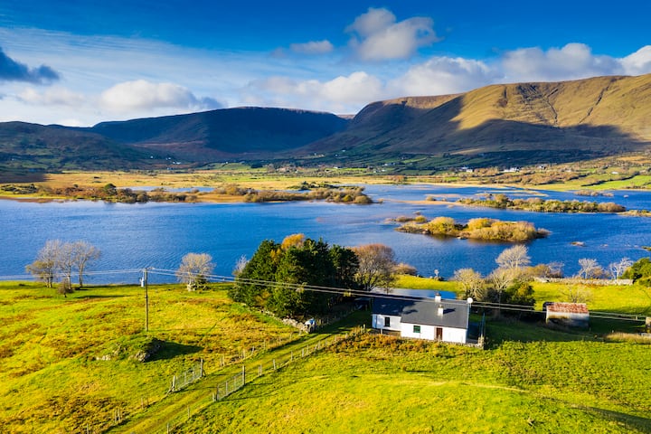 Illannamona IslandsIslet · 4.2 mi
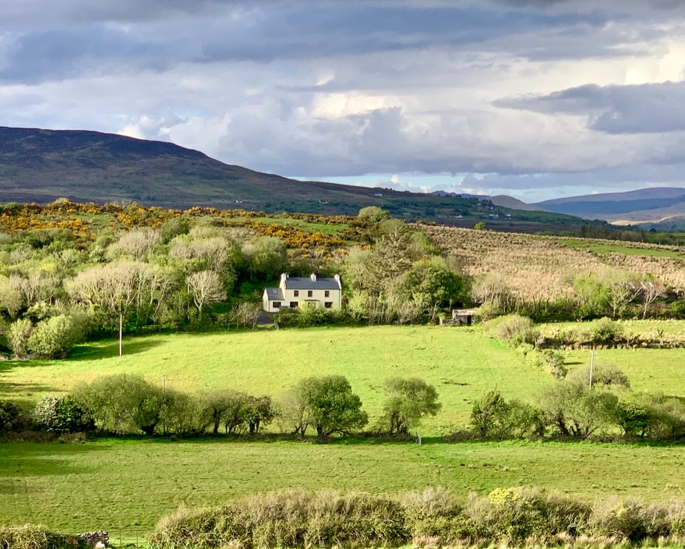 InishaghooIslet · 4.4 mi
 Rinn Inis PotaireHeadland · 4.6 mi
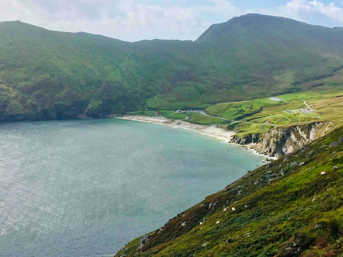 Trá na nAscaillBeach / strand · 4.7 mi
 Annagh IslandMountain / peak · 5.2 mi
 Claggan O'Donnell PlantationForest · 5.3 mi
 Rock House PlantationForest · 5.7 mi