What is recorded here
Grave Yd marks the vanished parish church of Templerobin at the north edge of Ballymore, preserving headstones from 1721 beside a newer graveyard to the east. The old church has no visible remains, but the buried line of the place still separates memory from forgetfulness. People may have stopped building there because life moved east, yet the older graves kept their claim on the land.
At N end of Ballymore village; roughly rectangular graveyard (c. 100m SW-NE; c. 40m NE-SW); in occasional use, partially overgrown. Some 18th and 19th century headstones dating from 1721 (Power 1923, 199-200). No visible surface trace of church (CO088-001002-) marked 'site of' on all eds OS 6-inch map; this was parish church of Templerobin (Power ibid, 198). More recent church and graveyard (CO088-001003-) to E.
The above description is derived from the published 'Archaeological Inventory of County Cork. Volume 2: East and South Cork' (Dublin: Stationery Office, 1994). In certain instances the entries have been revised and updated in the light of recent research.
Date of upload/revision: 14 January 2009
The monument record does not grant public access. Check the route and ask the landowner before entering private land.
- What survives
- Recorded monument
Places near here
 Church (Site of)Church · 6 yd
 Sacred Heart Catholic ChChurch · 114 yd
 Sacred Heart Roman Catholic Churchchurch/chapel · 124 yd
 Great IslandIsland · 1219 yd
 LisArchaeological place · 1257 yd
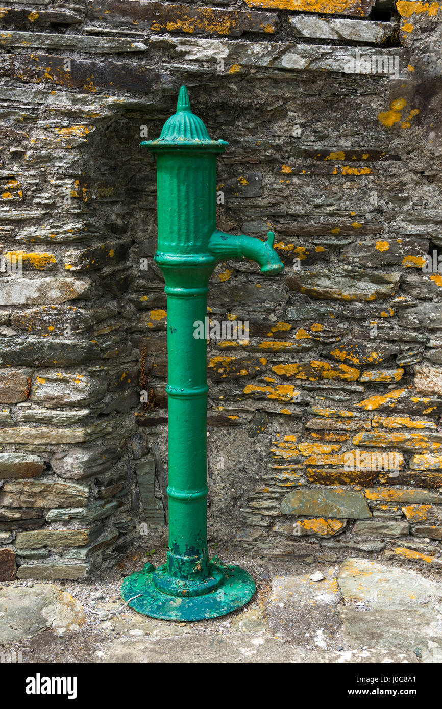 Water PumpHeritage attraction · 1319 yd
 Glenmore StrandBeach / strand · 1338 yd
 Cuskinny Marsh Bird SanctuaryNature reserve · 1410 yd
 Castle (in Ruins)Castle, tower house · 1.0 mi
 Titanic Memorial GardenHeritage attraction · 1.4 mi
 The BenchViewpoint · 1.7 mi
 Cobh CemeteryGraveyard · 1.9 mi