
What is recorded here
To NE of Ballymore, in rectangular churchyard to E of site of earlier church and graveyard (CO088-00101-). Rectangular nave (long axis NE-SW), pointed windows in N and S walls; chancel at NE end with adjoining sacristy; porch to SW. Bellcote on SW gable. Named R.C. Chapel on 1842 OS 6-inch map.
The above description is derived from the published 'Archaeological Inventory of County Cork. Volume 2: East and South Cork' (Dublin: Stationery Office, 1994). In certain instances the entries have been revised and updated in the light of recent research.
Date of upload/revision: 14 January 2009
The monument record does not grant public access. Check the route and ask the landowner before entering private land.
- What survives
- Recorded monument
Places near here
 Sacred Heart Roman Catholic Churchchurch/chapel · 25 yd
 Church (Site of)Church · 118 yd
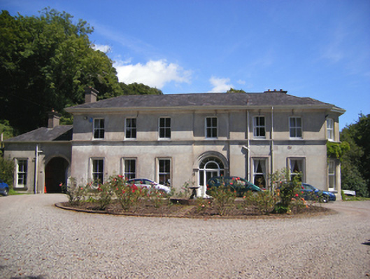 Ballymore Househunting/fishing lodge · 851 yd
 LisArchaeological place · 1151 yd
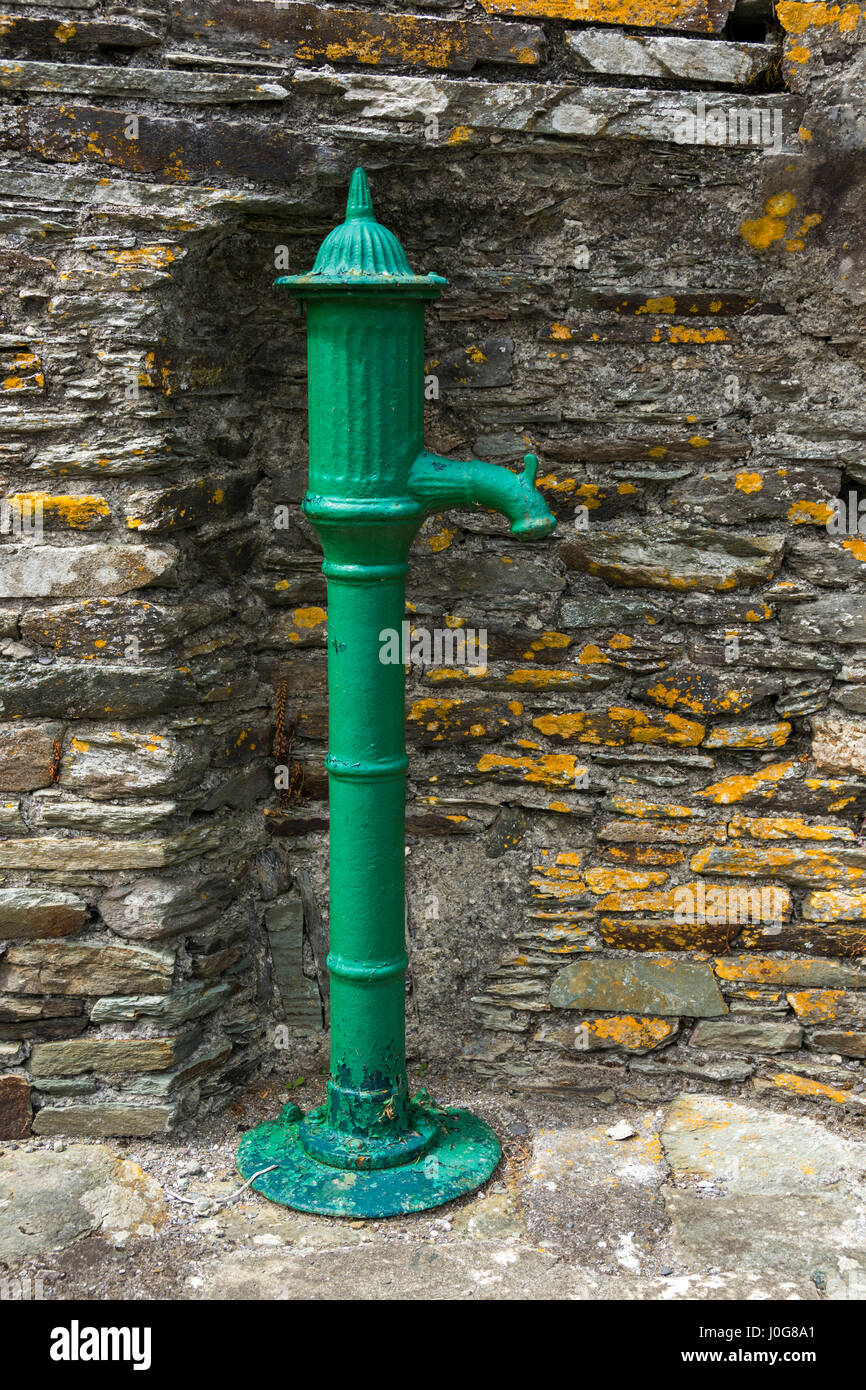 Water PumpHeritage attraction · 1208 yd
 Glenmore StrandBeach / strand · 1250 yd
 Great IslandIsland · 1329 yd
 Cuskinny Marsh Bird SanctuaryNature reserve · 1522 yd
 Castle (in Ruins)Castle, tower house · 1.0 mi
 Site of old schoolHeritage attraction · 1.1 mi
 Marloag WoodsWood · 1.3 mi
 CastleCastle, unclassified · 1.3 mi
Other information
Photo: Credit not shown in the picture search · Rights wording not checked; contact us if this picture should be removed