What is recorded here
At N end of Ballymore village; roughly rectangular graveyard (c. 100m SW-NE; c. 40m NE-SW); in occasional use, partially overgrown. Some 18th and 19th century headstones dating from 1721 (Power 1923, 199-200). No visible surface trace of church (CO088-001002-) marked 'site of' on all eds OS 6-inch map; this was parish church of Templerobin (Power ibid, 198). More recent church and graveyard (CO088-001003-) to E.
The above description is derived from the published 'Archaeological Inventory of County Cork. Volume 2: East and South Cork' (Dublin: Stationery Office, 1994). In certain instances the entries have been revised and updated in the light of recent research.
Date of upload/revision: 14 January 2009
A local ancient tomb; wider significance not recorded.
The monument record does not grant public access. Check the route and ask the landowner before entering private land.
- What survives
- Recorded monument
Places near here
 Church (Site of)Church · 6 yd
 Sacred Heart Catholic ChChurch · 114 yd
 Sacred Heart Roman Catholic Churchchurch/chapel · 124 yd
 Great IslandIsland · 1219 yd
 LisArchaeological place · 1257 yd
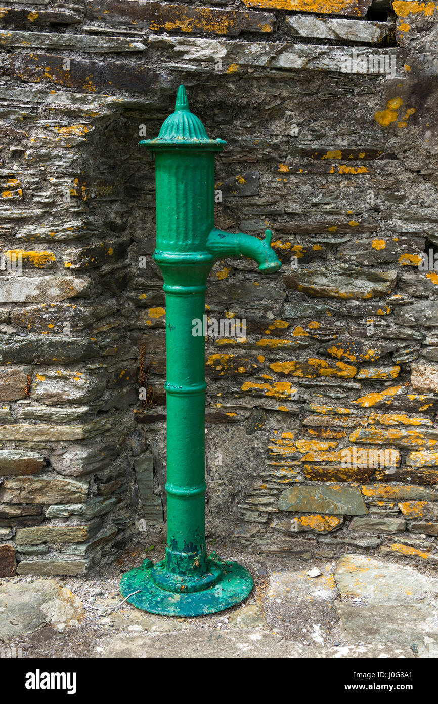 Water PumpHeritage attraction · 1319 yd
 Glenmore StrandBeach / strand · 1338 yd
 Cuskinny Marsh Bird SanctuaryNature reserve · 1410 yd
 Castle (in Ruins)Castle, tower house · 1.0 mi
 Titanic Memorial GardenHeritage attraction · 1.4 mi
 The BenchViewpoint · 1.7 mi
 Cobh CemeteryGraveyard · 1.9 mi