What is recorded here
Located in an area of farmland/pasture, adjacent to the N end of Blacksod Bay, and c. 1 km from Belmullet town. The graveyard consists of a trapezoidal area (c. 95m ENE–WSW; c. 75m NNW–SSE at E end, c. 65m at W end), enclosed by a mortared stone wall, accessed on its S side by a trackway (L c. 70m) leading from the main road. It contains a dense concentration of 19th- and 20th-century headstones and grave plots, interspersed with N-S rows of low, uninscribed stone gravemarkers. It is not shown on the 1838 OS 6-inch map but is shown as ‘Grave Yd.’ on the 1921 edition. According to local tradition, it was used for famine burials, and was associated with the Belmullet Workhouse which was opened in 1851. The Mayo County Council Graveyard Survey records that the earliest inscribed headstone is dated to 1896. Clay pipes found in the graveyard fall into the date range 1850-1910, and indicate that the tradition of smoking beside the grave following burial was a common practice here (pers. comm. Sue Zajac).
Compiled by: Jane O'Shaughnessy
Date of upload: 28 January 2015
The monument record does not grant public access. Check the route and ask the landowner before entering private land.
- What survives
- Recorded monument
Places near here
 Holy WellHoly well · 548 yd
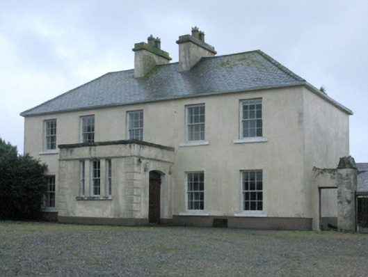 Carn Housefarm house · 827 yd
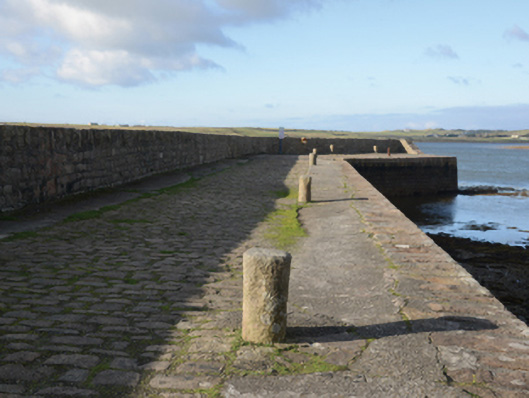 pier/jettypier/jetty · 1516 yd
 Fairy fort / earthen ringfort in Imleach Beag ThuaidhFairy fort / earthen ringfort · 1603 yd
 Burkes Castle (Site of)Castle, unclassified · 2.3 mi
 Trá Bhéal DoireBeach / strand · 2.3 mi
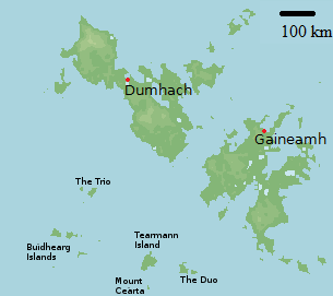 Bawn in Tearmann CaithreachBawn · 2.6 mi
 Gob an ChloiginnHeadland · 3.3 mi
 Dún na mBó BlowholeHeritage attraction · 3.6 mi
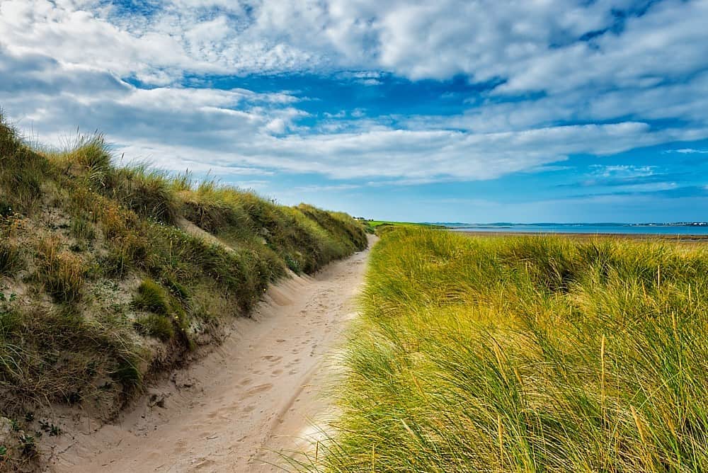 Oileán ChloigeannIslet · 3.6 mi
 Trá na CroiseBeach / strand · 3.7 mi
 Ceann an EanaighHeadland · 4.0 mi