What is recorded here
Situated at the W edge of a slight W-facing slope, at the point where the slope increases. The parish church of Ambrosetown (WX046-018001-) is within a subcircular graveyard (dims c. 35m E-W; c. 34m N-S) defined by an earthen bank with an outer masonry wall, although the perimeter at W has been robbed by a quarry. A report of a rectangular granite font within the church (Moore 1996, 119) is erroneous, the result of confusion with other churches. The site of St Ambrose's Well (WX046-018002-) is c. 30m to the NW, in an area that has been quarried.
Compiled by: Michael Moore
Date of upload; 19 August, 2013
The monument record does not grant public access. Check the route and ask the landowner before entering private land.
- What survives
- Recorded monument
Places near here
 St. Ambroses WellHoly well · 44 yd
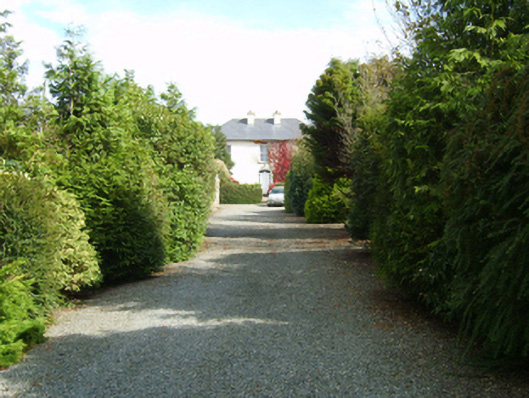 farm housefarm house · 187 yd
 St. Margarets WellHoly well · 614 yd
 bridgebridge · 1025 yd
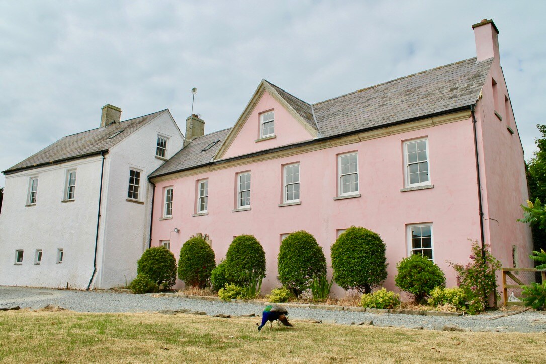 Embanked enclosureCastle, motte and bailey · 1.5 mi
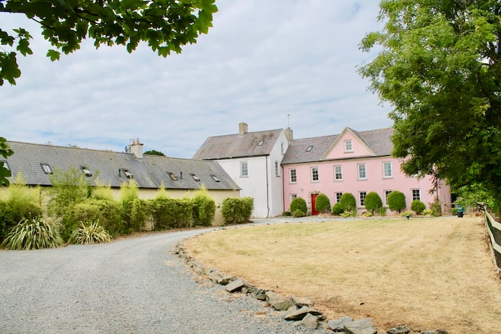 Castle (in ruins)Castle, tower house · 1.6 mi
 Carrig-On-BannowVisitor information · 2.8 mi
 1798 MemorialMemorial · 2.9 mi
 Cullenstown StrandBeach / strand · 3.2 mi
 Cull IslandIsland · 3.2 mi
 Ballyteigue BurrowNature reserve · 3.8 mi
 Ballymadder PointHeadland · 4.0 mi