What is recorded here
On S-facing slope overlooking Adrigole Harbour. Rectangular yard with late 19th and early 20th century headstones, chest tombs of Puxley family. No upstanding remains of C of I church indicated in centre of graveyard on OS 6-inch map (1842); described by Lewis (1837, vol. 2, 59) as 'small edifice with low square tower...built 1809'.
The above description is derived from the published 'Archaeological Inventory of County Cork. Volume 1: West Cork' (Dublin: Stationery Office, 1992). In certain instances the entries have been revised and updated in the light of recent research.
Date of upload/revision: 14 January 2009
A local ancient tomb; wider significance not recorded.
The monument record does not grant public access. Check the route and ask the landowner before entering private land.
- What survives
- Recorded monument
Places near here
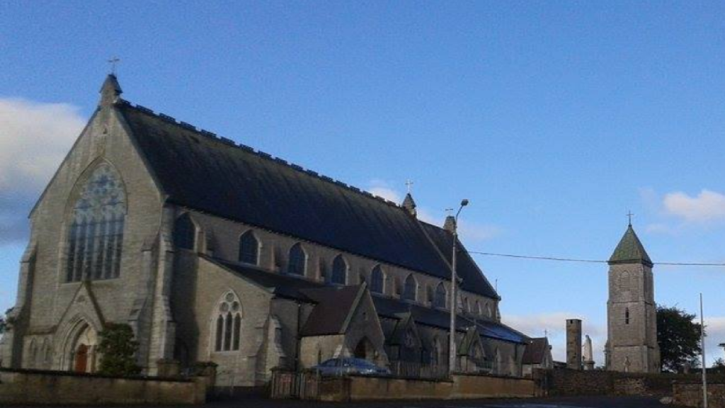 Church in AdrigoleChurch · 10 yd
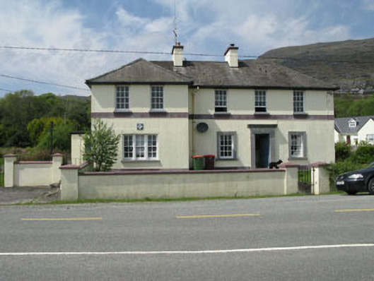 Adrigole Garda Síochána Stationgarda station/constabulary barracks · 182 yd
 Metal Foundry (in Ruins)Metalworking site · 347 yd
 Adrigole MountainMountain / peak · 1164 yd
 Boulder-burial in Cappaleigh NorthBoulder-burial · 1296 yd
 Orthon's IslandIslet · 1512 yd
 West Cork Sailing & Powerboating CentreHeritage attraction · 1621 yd
 Hungry Hill GalleryGallery · 1.0 mi
 Graveyard in DrumlaveGraveyard · 1.2 mi
 Mass MountMountain / peak · 1.5 mi
 Mare's Tail WaterfallViewpoint · 1.8 mi
 Loughure IslandIslet · 2.0 mi