What is recorded here
Grave Yard on Suffolk Street layers a disused Church of Ireland graveyard above the buried Nunnery of St. Mary de Hogge and the old round St Andrew's Church. It is not a polished monument but a forgotten city wound, where nunneries, parish prayers and demolished buildings still press through the soil. To walk there is to touch several Dublins at once: ceremonial, excluded, recovered and lost.
The present de-consecrated 19th century Church of Ireland St Andrew's Church and graveyard was built on the site of the 17th-century St. Andrew's Church (DU018-020072-) and graveyard and partially on the 'Site of' the 'Nunnery of St. Mary de Hogge' (DU018-020047-) as annotated on the OSi 25-inch map and on the 1892 OSi City of Dublin: sheet 57. Disused graveyard belonging to St. Andrew's Parish Church was Annotated 'G. Yd. (Dis.)' on OSi 25-inch map. Graveyard shown enclosing the round church of St Andrew's on Rocque's 1756 map of Dublin City.
St Andrew's Church on Suffolk Street was described by Wheeler and Craig (1948, 9) as follows; 'The parish was founded probably in the the XIth century. The original church [DU018-020071-] occupied the site of the present Munster and Leinster Bank in Dame Street, lying therefore just without the walls. At the Reformation the parish was united to St. Werburgh's, and the church used as a mint and as a vice-regal stable. Laud attempted to rescue it, but it was not till 1665 that the parish was re-created by Act of Parliament. The church [DU018-020072-] [on Suffolk St.] was built 1670-74: it was 'round' (elliptical) in form, and the architect was William Dodson. A drawing which still exists, was made by Francis Place. It stood almost on the site of the present church, near the Danish Thingmote or assembly mound [DU018-020132-], which was not levelled till 1685'.
See attached section of 1892 OSi City of Dublin: sheet XVIII.57 ("City of Dublin," held by Ordnance Survey Ireland. © Public domain. Digital content: © Ordnance Survey Ireland, published by UCD Library, University College Dublin <http://digital.ucd.ie/view/ucdlib:40905>).
See attached Rocque's 1756 Map of Dublin City showing the graveyard enclosing St Andrew's Church
Compiled by: Caimin O'Brien
Date of upload: 26 July 2023
The monument record does not grant public access. Check the route and ask the landowner before entering private land.
- What survives
- Recorded monument
Places near here
 church/chapelchurch/chapel · 8 yd
 Andrew Street Post Officepost office · 41 yd
 Fireman John KiteMemorial · 63 yd
 Mound in Unknown TownlandMound · 72 yd
 Illusion Museum DublinMuseum · 99 yd
 Thomas Osborne DavisMonument · 102 yd
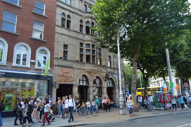 Irish Whiskey MuseumMuseum · 129 yd
 Hall of HonourMemorial · 250 yd
 Bigleaf MapleBigleaf Maple · 321 yd
 Battle of DublinMajor battlefield · 381 yd
 Tourist Information CentreVisitor information · 397 yd
 Oriental planeOriental plane · 441 yd