What is recorded here
Grave Yard lies south of the Church of Ireland building in Mountmellick, preserving burials from the seventeenth century onward. The town emerged through Royal Licence, Quaker settlement and military garrisons, yet the graveyard remains the oldest continuous marker of local life. People died, were forgotten and still occupy the soil beside the chapel that survived repeated repairs.
No town is depicted in Mountmellick on the 1563 Map of Laois and Offaly, nor does Mountmellick appear as a town on the 1655-6 Down Survey Map of Laois prepared by Sir William Petty. In 1631 the town was granted a Royal Licence to Sir Robert Loftus so that he could hold a Saturday market and two annual fairs in Mountmellick. In 1659 William Edmundson and others settled in Mountmellick where they established a Quaker settlement amongst the English colony. In an entry dated 1669 in the diary of William Penn it is stated that Mountmellick was originally an English colony set up alongised a frontier garrison, which had been situated on the bank of the Owenass River (Dunne, p. 11). In 1685 the town had grown and was now included in a set of maps produced by Sir William Petty. In 1691 there was a Williamite garrison in Mountmellick consisting of 300 infantry and 50 calvary, along with about 120 local militia.
The presence of a church of Ireland chapel of ease in Mountmellick can be traced back as far as 1665, the year in which George Clapham, Rector of Mountmellick died. This chapel was repaired in 1736 and again in 1807. Graveyard (int. dims. 59m N-S; 54m E-W) to S of Church of Ireland building located on the site of the seventeenth cenutry church and graveyard.
Compiled by: Caimin O'Brien
Date of upload: 17 December 2007
The monument record does not grant public access. Check the route and ask the landowner before entering private land.
- What survives
- Recorded monument
Places near here
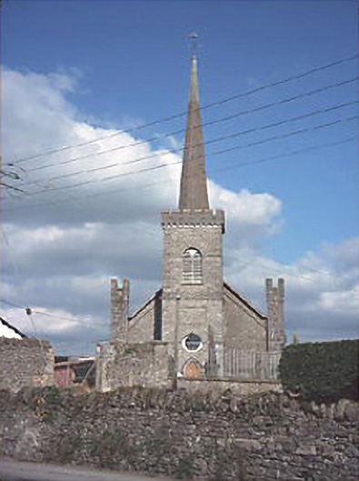 Saint Paul's Church (Rosenallis)church/chapel · 30 yd
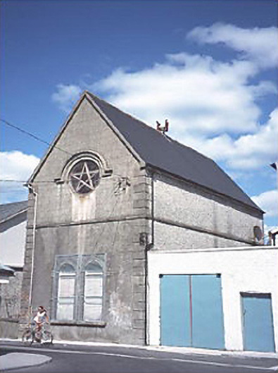 Mountmellick Masonic Hall No. 660building misc · 84 yd
 Ivy Church (Site of)Church · 1.6 mi
 Enclosure in AcragarEnclosure · 1.6 mi
 Friary (in Ruins) GraveyardReligious house, unclassified · 1.7 mi
 Derryisheen WoodWood · 2.0 mi
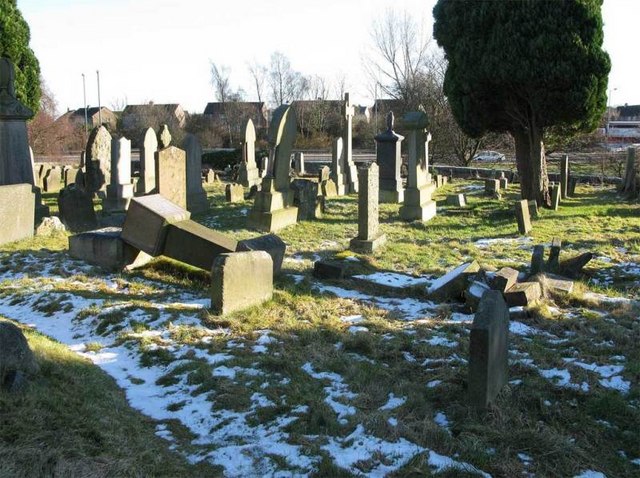 Church (in Ruins), GraveyardChurch · 2.8 mi
 Birchpark WoodWood · 3.0 mi
 Tinnakill Castle (in Ruins)Castle, tower house · 3.2 mi
 Spa WellSpring · 3.8 mi
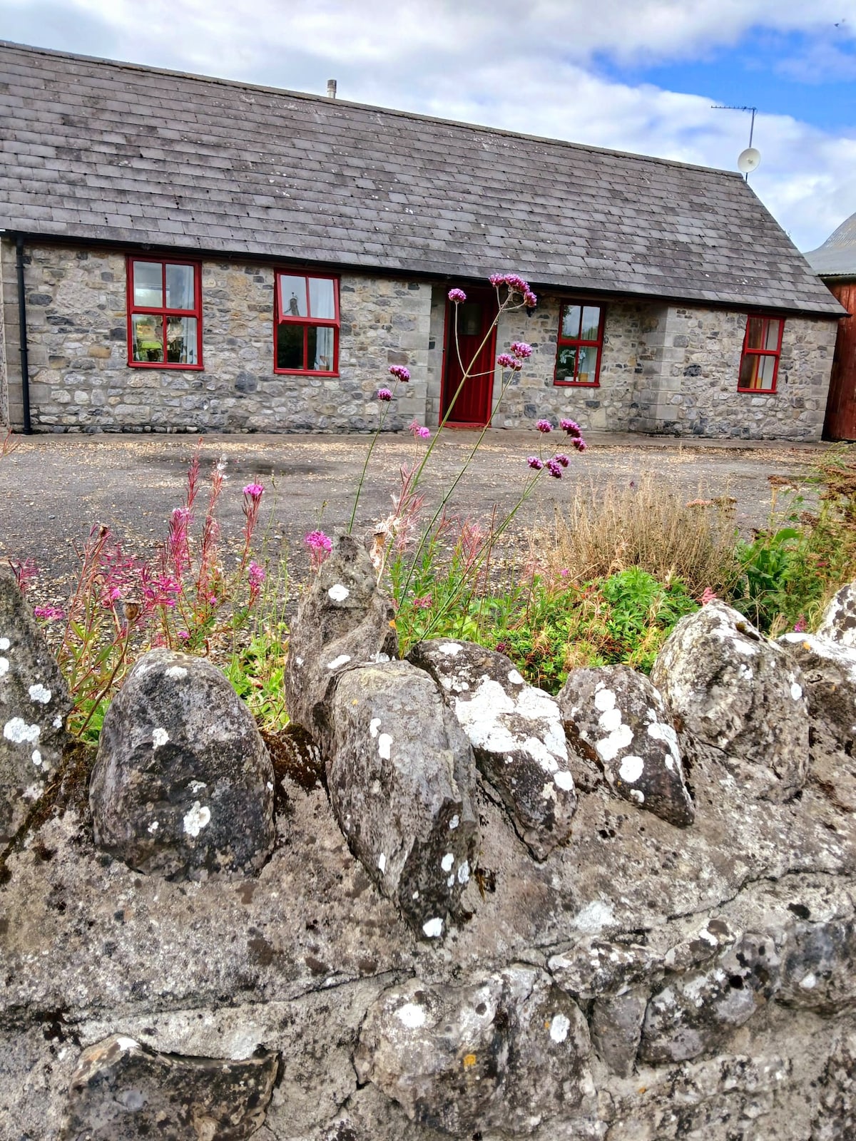 Bawn in ClonyhurkBawn · 4.0 mi
 Bog Oak WalkWalking route · 6.8 mi