What is recorded here
Located just off the crest of a plateau and c. 350m NW of the nearest point of the S-N Owenavorragh River. The site of the parish church of Killenagh (WX019-003001-) is within a neglected subrectangular graveyard (dims. c. 35-50m E-W; c. 45m N-S) defined by an earthen bank (Wth 3-4m; H c. 1m). A 17th century graveslab (WX019-003003-) is within the church at the E end.
Compiled by: Michael Moore
Date of upload: 21 May, 2012
The monument record does not grant public access. Check the route and ask the landowner before entering private land.
- What survives
- Recorded monument
Places near here
 Site of ChurchChurch · 15 yd
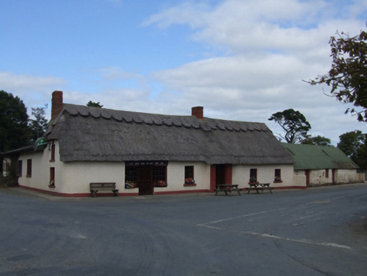 O'Brien'sfarm house · 503 yd
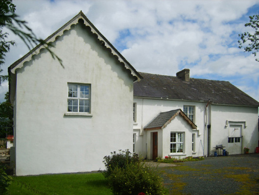 Raheenbeg Housefarm house · 683 yd
 Embanked enclosureFairy fort / earthen ringfort · 1229 yd
 1798 MemorialMemorial · 2.5 mi
 Wexford - TexasMemorial · 2.6 mi
 Barnadown WoodWood · 2.7 mi
 Boley HillMountain / peak · 2.8 mi
 Donaghmore BeachBeach / strand · 2.9 mi
 Shrule Deer FarmHeritage attraction · 3.0 mi
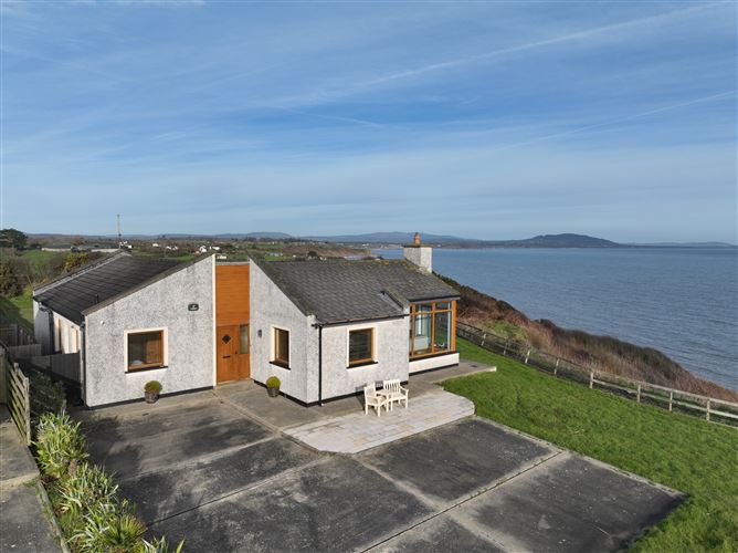 Roney Point BeachBeach / strand · 3.1 mi
 IndicatedCastle, motte and bailey · 3.4 mi