What is recorded here
Situated on a gentle SE-facing slope. A rectangular area (dims. 40m x 30m) defined by a 19th century stone wall. A small number of 18th century headstones survive. There is the site of a church (WI015-001----) in the NE corner.
Compiled by: Matt Kelleher
Date of upload: 19 December 2012
The monument record does not grant public access. Check the route and ask the landowner before entering private land.
- What survives
- Recorded monument
Places near here
 Church (Site of), Burial Gd.Church · 14 yd
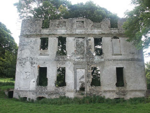 Tober Housecountry house · 108 yd
 IndicatedEnclosure · 1314 yd
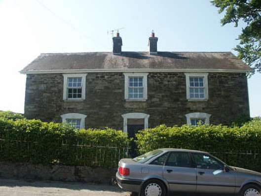 Hillgrove Househouse · 1.2 mi
 Memorial to 1798 rebellionMonument · 1.4 mi
 Burial ground in CrehelpBurial ground · 2.1 mi
 Castlefish (in Ruins)Castle, unclassified · 2.8 mi
 Site of Fair GreenForest · 3.0 mi
 Castle (in Ruins)House, fortified house · 3.0 mi
 Saint Kevin's CaveMemorial · 3.6 mi
 European YewEuropean Yew · 3.7 mi
 Hollywood SignHeritage attraction · 3.8 mi