What is recorded here
On a narrow, level terrace in a long, gentle SW-facing slope, in pasture. A square area (dims. L c. 50m; Wth c. 50m) is enclosed by a stone wall and contains the ruins of a fortified medieval church (KD019-039----), an Early Christian cross-slab (KD019-039002-), a medieval baptismal font (KD019-039003-) and a 17th century Latin cross (KD019-039004-). The graveyard has been surveyed and some 50 inscriptions, 18th century - modern, are recorded (McCabe 1996, 106-17).
Compiled by: Gearóid Conroy
Date of upload: 10 June 2011
The monument record does not grant public access. Check the route and ask the landowner before entering private land.
- What survives
- Recorded monument
Places near here
 Church (in Ruins)Church · 12 yd
 Stone CrossCross · 18 yd
 Baptismal FontFont · 31 yd
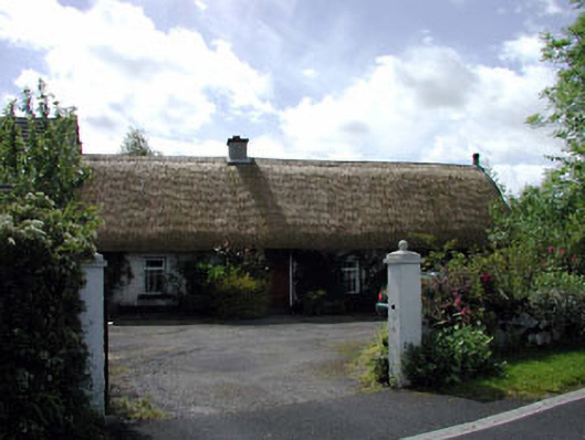 farm housefarm house · 927 yd
 European YewEuropean Yew · 1.4 mi
 Blackhall Castle (in Ruins)Castle, tower house · 1.4 mi
 Site of Eustace CastleCastle, tower house · 1.9 mi
 Poplar SquarePicnic place · 1.9 mi
 Monread District Park WoodsWood · 2.2 mi
 The Square RenewalMemorial · 4.4 mi
 Councillor Jim MileyMemorial · 4.4 mi
 Cupidstown HillMountain / peak · 5.4 mi