What is recorded here
Grave Yard holds the lost church of Tyholland inside a D-shaped wall at the south end of a narrow Monaghan spur. Stones from 1800 to the present crowd the top of the ridge, marking a place where people kept returning long after the medieval building disappeared. The road curves past its eastern edge, dragging the living back toward the dead whenever they leave.
Located at the S end of a N-S spur. The site of the medieval parish church of Tyholland or Tehallen (MO010-003001-) is within a D-shaped graveyard (dims c. 80m NNW-SSE; c. 50m ENE-WSW) defined by masonry walls that enclose most of the spur and which has a curved edge at NE where there is a road. Most of the headstones, dating from c. 1800 to the present, are confined to the top of the spur in the area S of the present church, where the medieval church is likely to have been.
Compiled by: Michael Moore
Date of revised upload: 15 November 2015
The monument record does not grant public access. Check the route and ask the landowner before entering private land.
- What survives
- Recorded monument
Places near here
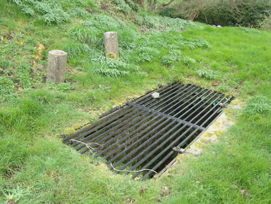 Saint Cilian's Church (Tehallan)mausoleum · 25 yd
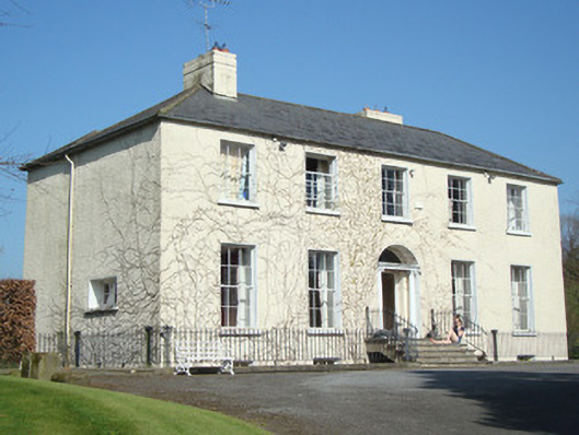 Tyholland Houserectory/glebe/vicarage/curate's house · 122 yd
 DoonduffFairy fort / earthen ringfort · 1470 yd
 CarnCairn, unclassified · 1548 yd
 Caldwells' WoodWood · 1.1 mi
 Liscarney WoodWood · 1.1 mi
 Monaghan County MuseumMuseum · 2.8 mi
 Castleshane WaterfallWaterfall · 2.8 mi
 Rossmore MonumentMemorial · 2.9 mi
 Bawn in Roosky (monaghan By., Monaghan Par.)Bawn · 3.0 mi
 Banba GiantHeritage attraction · 4.5 mi
 Battle of ClontibretBattlefield · 4.9 mi