
What is recorded here
At foot of NE-facing slope with good views from N-E only. An irregular, roughly D-shaped area (ext. dims. 52m NE-SW x 26m NW-SE), covered in overgrowth and enclosed by a stone wall. On the 1st (1839) ed. OS 6-inch map a parish boundary runs along the N-NW side of the graveyard and the medieval church (KK020-009001-) whose W gable and N wall also form part of this boundary. Within the church are two 13th/14th-century graveslabs (KK020-009004-; KK020-009005-) and two 16th-century graveslabs (KK020-009003- and KK020-009006-). Also within the church interior there are a number of 19th-century table tombs and headstones. The graveyard is densely populated with 18th and 19th-century headstones and uninscribed grave-markers.
Compiled by: Jean Farrelly
Date of upload: 9 November 2020
The monument record does not grant public access. Check the route and ask the landowner before entering private land.
- What survives
- Recorded monument
Places near here
 St. Martins Church (in ruins)Church · 11 yd
 St. Martins WellHoly well · 227 yd
 Enclosure in Templemartin (gowran By., Clara Ed)Enclosure · 245 yd
 Site of Raheenmore CastleCastle, unclassified · 858 yd
 Lyrath Housecountry house · 870 yd
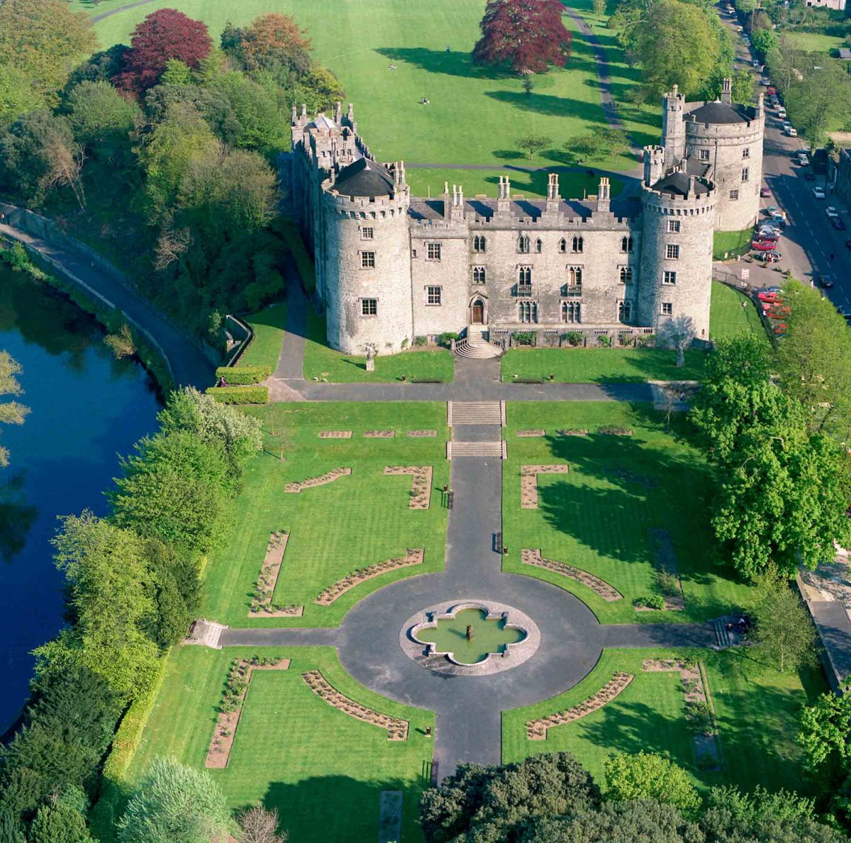 Site of Lavistown CastleCastle, unclassified · 1.0 mi
 Saint Molagga's WellSpring · 1.3 mi
 St. Mogarra’s WellSpring · 2.1 mi
 HawthornHawthorn · 2.4 mi
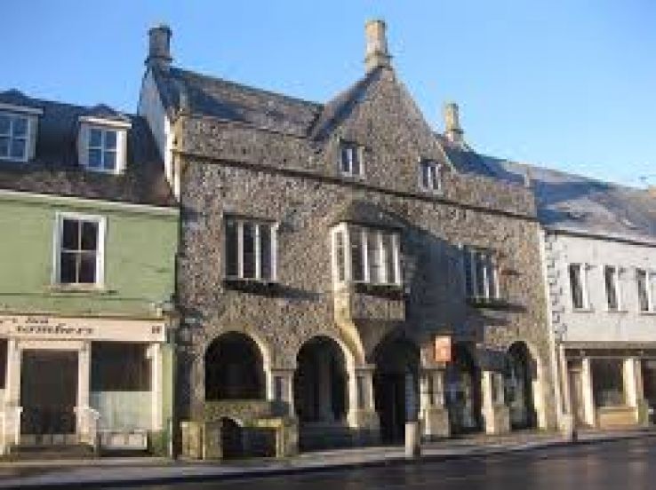 Rothe familyMemorial · 2.8 mi
 WelcomeVisitor information · 2.8 mi
 HedgerowVisitor information · 2.8 mi
Other information
Photo: A.-K. D. · CC BY-SA 4.0