
What is recorded here
On a N-facing slope with good views from NNE-E but obscured elsewhere by rising ground. Indicated on the 1st (1839) ed. OS 6-inch map and 1900 revision as a roughly rectangular enclosure (overall diam. c. 32m N-S; c. 26m E-W). It lies immediately N of a piggery complex and a farm road cuts across the N portion of the monument. The enclosure is not visible at ground level.
Compiled by: Jean Farrelly
Date of upload: 9 November 2020
The monument record does not grant public access. Check the route and ask the landowner before entering private land.
- What survives
- Recorded monument
Places near here
 St. Martins Church (in ruins)Church · 238 yd
 Grave YardGraveyard · 245 yd
 St. Martins WellHoly well · 356 yd
 Lyrath Housecountry house · 808 yd
 Site of Raheenmore CastleCastle, unclassified · 992 yd
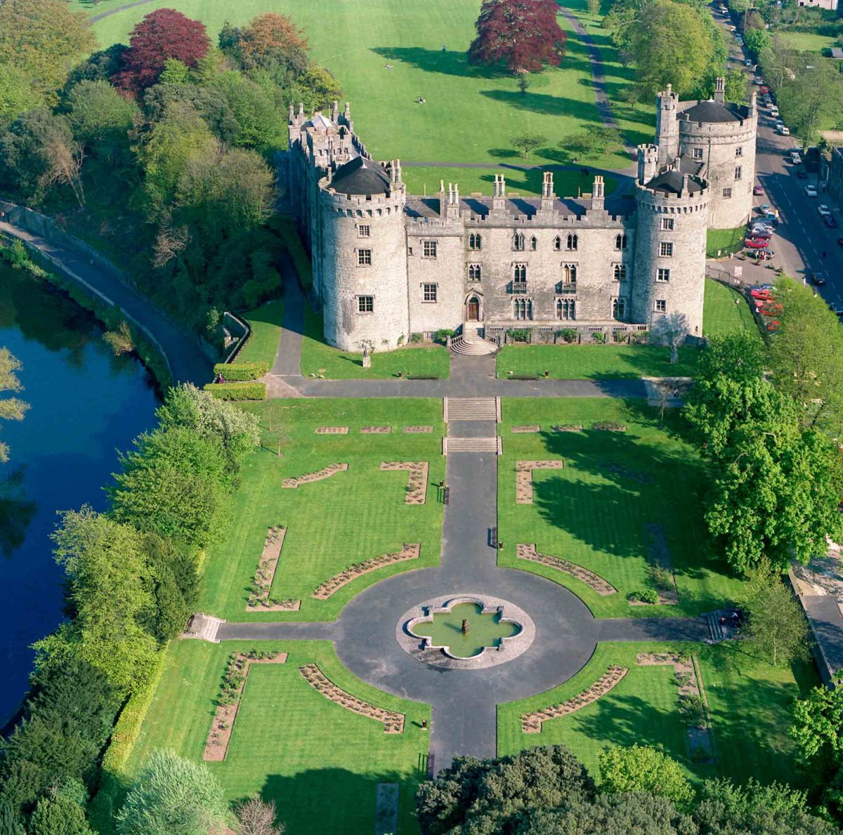 Site of Lavistown CastleCastle, unclassified · 1.0 mi
 Saint Molagga's WellSpring · 1.2 mi
 J. TobinMemorial · 2.0 mi
 Ivan PowerMemorial · 2.0 mi
 St. Mogarra’s WellSpring · 2.2 mi
 HawthornHawthorn · 2.6 mi
 WelcomeVisitor information · 2.7 mi
Other information
Photo: Credit not shown in the picture search · Rights wording not checked; contact us if this picture should be removed