What is recorded here
Situated on the floor of the W-E Bride river valley, c. 1km S of the river. The parish church of Tallow (WA028-015001-) is within a graveyard (dims. c. 75m E-W; c. 65m N-S) defined by masonry walls, with wrought iron railings on the S side. Two 17th-century memorials (WA028-015003-; WA028-015006-) are now missing from the abandoned graveyard. (Bradley et al. 1989, vol. 1, 123-5).
Bradley, J., Halpin, A. and King, H. (1989) Urban archaeology Survey of Waterford City and County, 2 vols. Unpublished report commissioned by the Office of Public Works.
Compiled by: Michael Moore
Date of upload: 26 July 2011
A local ancient tomb; wider significance not recorded.
The monument record does not grant public access. Check the route and ask the landowner before entering private land.
- What survives
- Recorded monument
Places near here
 Saint Catherine's Church (Tallow)church/chapel · 32 yd
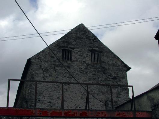 store/warehousestore/warehouse · 85 yd
 Lisfinny CastleCastle · 1301 yd
 CastleCastle, unclassified · 1568 yd
 Tallow HillMountain / peak · 1.4 mi
 Enclosure in GlasshouseEnclosure · 1.5 mi
 Fulacht fia in GlasshouseFulacht fia · 1.6 mi
 Graveyard in Curraheen (kinnatalloon By.)Graveyard · 3.2 mi
 Bishopstown WoodForest · 3.5 mi
 Castlebrook forestWood · 3.8 mi
 Lismore Castlefarm house · 4.4 mi
 Ballysaggartmore TowersHeritage attraction · 4.5 mi