What is recorded here
In undulating countryside. Forestry to East. Majority of headstones are post 1700 AD. South of church numerous pieces of cut stone have been used as grave markers. Irregularly shaped graveyard (int. dims. 82m N-S; 45m E-W) enclosed by the demesne wall of Shaen House as indicated on current edition of the OS 6-inch map. On this map the graveyard is indicated as being enclosed by a polygonal shaped wall on the N, E and S sides. Today there is no enclosing element around the graveyard on these sides. The medieval nave and chancel church (LA013-005001-) is located in the centre of the graveyard with the W gable of the church forming the W section of graveyard boundary wall. On the 1838 edition of the OS six-inch map the church is shown located in the NW corner of a square-shaped graveyard (dims. c. 37m E-W x 38m N-S) on the demesne lands of Shaen House.
The line of the Portlaoise Water Supply Improvement pipeline was excavated by Thaddeus Breen under licence no. 96E313 along the side of the road opposite the church. Two pits were found, containing animal bone, charcoal and slag. Some brick was present in one pit, suggesting a late date. No trace of any enclosing ditch was found.
The above description is derived from the published 'Archaeological Inventory of County Laois' (Dublin Stationery Office, 1995) compiled by P. David Sweetman, Olive Alcock and Bernie Moran. In certain instances the entries have been revised and updated in the light of recent research.
Compiled by Caimin O'Brien
Date of upload/revision: 06 December 2010
The monument record does not grant public access. Check the route and ask the landowner before entering private land.
- What survives
- Recorded monument
Places near here
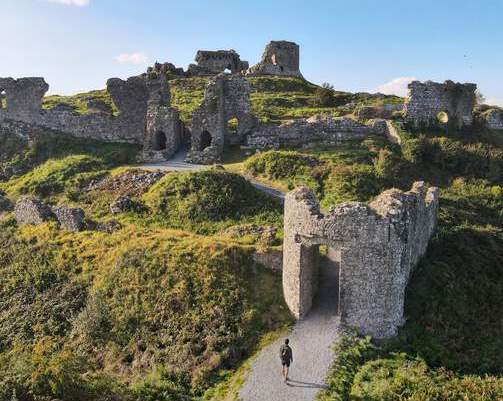 Shaen Castle (in Ruins)Castle, tower house · 1154 yd
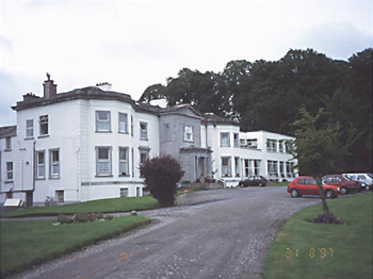 Saint Brigid's Hospitalcountry house · 1176 yd
 Enclosure in DerrygarranEnclosure · 1557 yd
 RathnamanaghCastle, motte and bailey · 1.1 mi
 IndicatedEnclosure · 1.2 mi
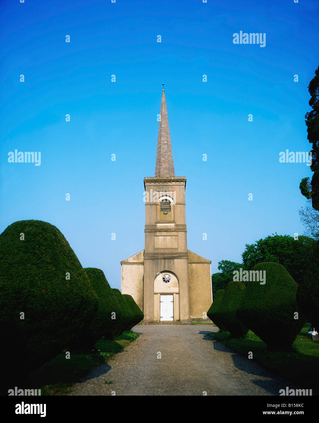 Coolbanagher Church (in ruins)Church · 1.3 mi
 Pedunculate OakPedunculate Oak · 2.4 mi
 Friary (in Ruins) GraveyardReligious house, unclassified · 2.8 mi
 Burial Ridge of MaryboroughMemorial · 2.8 mi
 Rock of DunamaseCastle · 3.5 mi
 Rock of Dunamase InformationVisitor information · 3.6 mi
 Giant SequoiaGiant Sequoia · 3.6 mi