What is recorded here
Situated on low rise of ground overlooking Robertstown River mudflats with Robertstown Castle (LI010-013----) 135m to NNW and 'old mill' site (LI010-106----) 70m to W. Sub-rectangular shaped area (approx. dims. 56m N-S x 58m E-W) enclosed by post-1700 graveyard wall with entrance gate at E end of N wall. Medieval church ruins of Robertstown Church (LI010-069001-) stands in centre of graveyard. Memorials date from the 18th century to modern times.
Compiled by: Caimin O'Brien
Date of upload: 20 November 2018
The monument record does not grant public access. Check the route and ask the landowner before entering private land.
- What survives
- Recorded monument
Places near here
 Robertstown Church (in ruins)Church · 7 yd
 Old MillWater mill, unclassified · 105 yd
 Robertstown Castle (in ruins)Castle, tower house · 183 yd
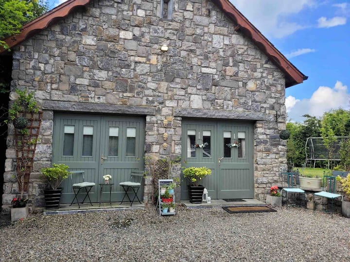 Enclosure in RobertstownEnclosure · 239 yd
 Burnt mound in RobertstownBurnt mound · 743 yd
 Dysert Castle (in ruins)Castle, tower house · 1.0 mi
 Foynes Flying Boat & Maritime MuseumMuseum · 1.7 mi
 Gammarel PointHeadland · 1.8 mi
 Foynes Island ViewpointViewpoint · 1.9 mi
 Foynes IslandIsland · 2.3 mi
 Battery PointHeadland · 2.6 mi
 Tummera LittleIslet · 3.2 mi