What is recorded here
Located on a broad, low hill. The parish church of Cushingstown (ME033-016-----) is within a rectangular graveyard (dims c. 75m E-W; c. 55m N-S) defined by picket fences and trees with a masonry wall at W which borders the R152 Ratoath to Duleek road. The graveyard has expanded beyond the original subrectangular one (dims c. 50m N-S; c. 30m E-W), but part of the original perimeter can be seen S of the church in a slightly curved earthen bank incorporated into the modern border. The headstones in the older part of the graveyard date from c. 1780 to the present.
Compiled by: Michael Moore
Date of upload: 9 February, 2015
The monument record does not grant public access. Check the route and ask the landowner before entering private land.
- What survives
- Recorded monument
Places near here
 Enclosure in RoadmainEnclosure · 136 yd
 PuddenhillHeritage attraction · 937 yd
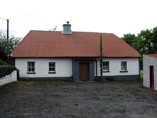 farm housefarm house · 1003 yd
 Church (in Ruins)Church · 1036 yd
 Enclosure in Piercetown (duleek Upper By.)Enclosure · 1073 yd
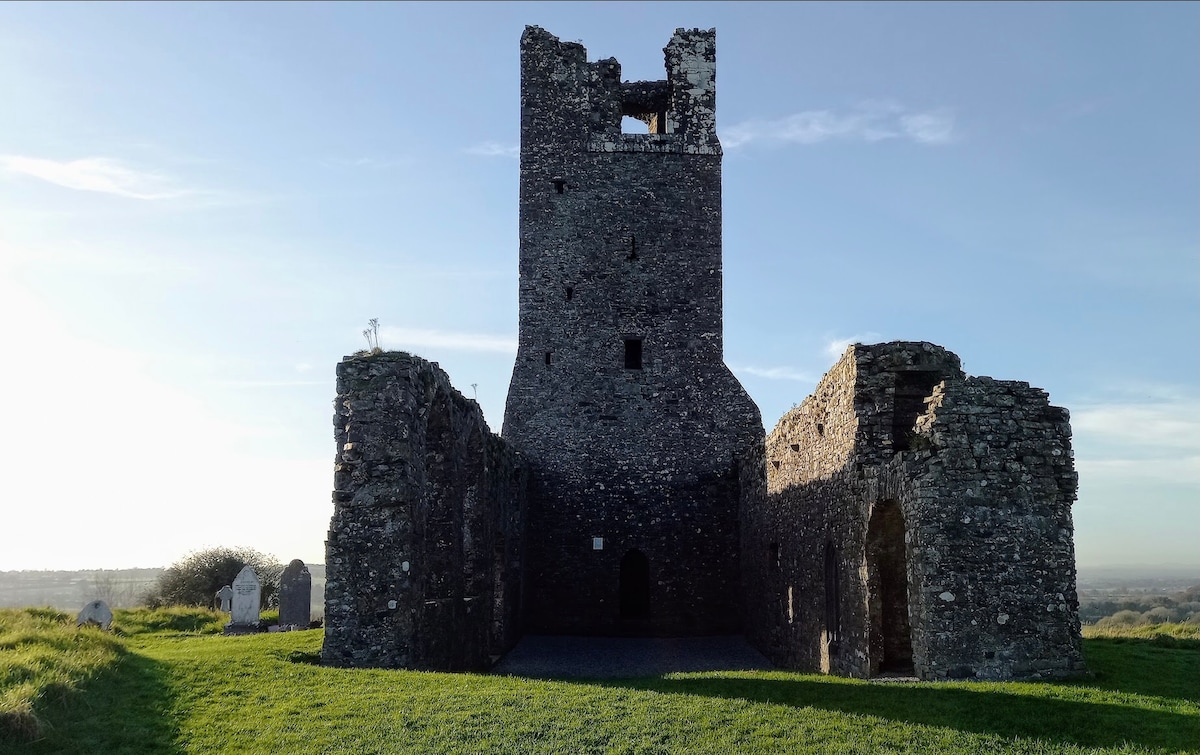 CastleCastle, motte · 1.9 mi
 Newtown GorseWood · 1.9 mi
 Newtown HillMountain / peak · 2.1 mi
 Macetown CastleCastle, tower house · 2.3 mi
 Emerald ParkHeritage attraction · 2.9 mi
 Lemur WoodWood · 2.9 mi
 The story of the milk standMemorial · 4.2 mi