What is recorded here
Depicted on the 1837 ed. OS 6-inch map as a rectangular church (WM017-005----) standing in the centre of a rectangular shaped graveyard (WM017-005003-). The rectangular-shaped graveyard is enclosed by a post-1700 wall with remains of a relatively modern church standing in the centre of the graveyard. The graveyard contains many relatively modern tombstones. Immediately inside the graveyard wall there are the remains of a curving earthen bank which forms a circular enclosure around the church and may be the remains of an Early Christian ecclesiastical enclosure (WM017-005001-). The only other possibly early feature is a cross-slab (WM017-005002-).
Compiled by: Frank Coyne and Caimin O'Brien
Date of upload: 13 February 2018
The monument record does not grant public access. Check the route and ask the landowner before entering private land.
- What survives
- Recorded monument
Places near here
 Church (in Ruins)Church · 22 yd
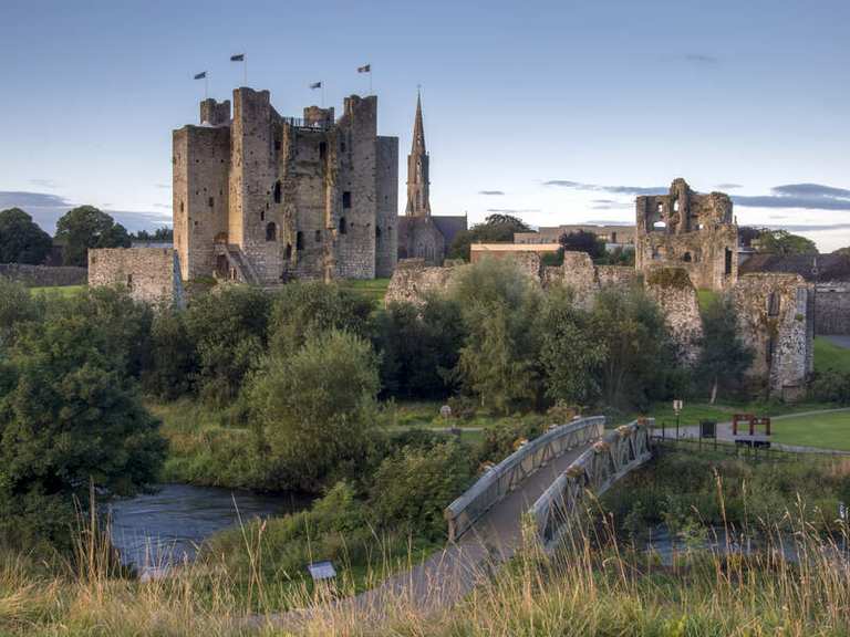 IndicatedFairy fort / earthen ringfort · 187 yd
 Partially hachuredFairy fort / earthen ringfort · 944 yd
 Site of CastleCastle, unclassified · 1618 yd
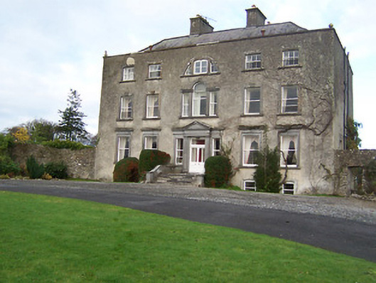 Mearscourt Housecountry house · 1717 yd
 Sessile OakSessile Oak · 2.1 mi
 Common LimeCommon Lime · 2.5 mi
 Abbeyshrule AbbeyRuins · 2.6 mi
 Bawn in EmperBawn · 3.2 mi
 Craft WorkshopHeritage attraction · 4.2 mi
 Goldsmith Birthplace, PallasVisitor information · 4.2 mi
 Guest ServicesVisitor information · 4.2 mi