What is recorded here
On a NE-facing slope in undulating pastureland. A stream flows c. 300m to the NE and another flows c. 400m to the S. 'Grave Yard' marked on the 1st (1843) ed. OS 6-inch map though no area is delineated, and it is marked on the 2nd (1906) ed. OS 6-inch map as 'Burial Ground (Disused)' and depicted with a roughly rectangular dashed outline. A roughly rectangular area (dims. 34m NE-SW; 21.7m NW-SE), aligned NE-SW, enclosed by a much denuded stone wall (Wth 2m; int. H 0.63m; ext. H 0.33m), which is grass covered in places. On the NW side, near the W corner, large stones delimit the edge of the wall with a rubble stone core which according to Power (1908, 60) is a 'primitive church site' (TS080-003----).
Compiled by: Jean Farrelly
Date of upload: 26 August 2011
This monument is subject to a preservation order made under the National Monuments Acts 1930 to 2014 (PO no. 3/1989).
The monument record does not grant public access. Check the route and ask the landowner before entering private land.
- What survives
- Recorded monument
Places near here
 IndicatedBawn · 612 yd
 Rehill WoodForest · 1018 yd
 Enclosure in Parkaderreen (shanrahan Par.)Enclosure · 1.0 mi
 Bawn in CloheenafishogeBawn · 1.1 mi
 Burncourt Old Br.Bridge · 1.2 mi
 Boulakennedy WoodForest · 1.3 mi
 Ballysheehan Househouse · 1.3 mi
 Enclosure in BurncourtEnclosure · 1.6 mi
 Mitchelstown CaveCave · 3.0 mi
 LaghtshanaquillaMountain / peak · 3.8 mi
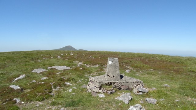 GreenaneMountain / peak · 4.1 mi
 Ronald Reagan CentreHeritage attraction · 4.4 mi