What is recorded here
The parish church of Rathregan (ME044-021----) is located at the crest of a NE-facing slope down to the NW-SE Tolka River, which is c. 80m to the NE and close to its source. It is within a neglected D-shaped graveyard (dims. c. 48m NE-SW; c. 40m NW-SE) defined by masonry walls with straight sides at the SW and NW sides. There is a roadway outside the perimeter SE-SW, and the few headstones date from c. 1850 to c. 1940.
Compiled by: Michael Moore
Date of upload: 7 April, 2015
The monument record does not grant public access. Check the route and ask the landowner before entering private land.
- What survives
- Recorded monument
Places near here
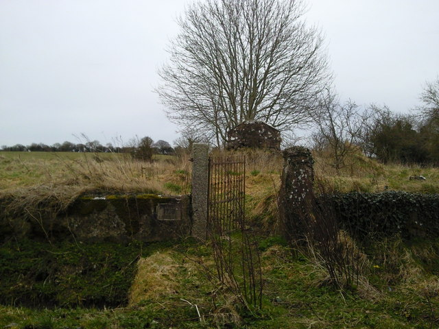 RuinChurch · 8 yd
 Regan's RathArchaeological place · 124 yd
 Mill HillArchaeological place · 369 yd
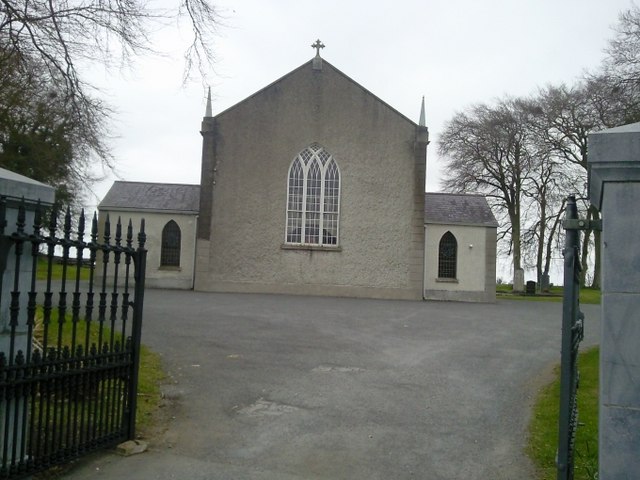 Catholic Church of the Assumptionchurch/chapel · 512 yd
 Lismahon 1798 MemorialMonument · 1751 yd
 CastleCastle, motte · 1.8 mi
 Site of Old CastleCastle, unclassified · 1.9 mi
 Saint Oliver Plunkett 1625-1681Memorial · 3.9 mi
 Caulstown Christmas Tree FarmForest · 4.2 mi
 MullaghMountain / peak · 4.3 mi
 Hanwood GardensHeritage attraction · 4.4 mi
 Ash HillMountain / peak · 4.7 mi