What is recorded here
On a gentle NE-facing slope in gently undulating pastureland. A medieval church (TS088-018002-) is located N of centre in this rectangular graveyard (dims. 70m N-S; 41m E-W). There is a cross-slab (TS088-018003-) in the graveyard, S of the church. The earliest visible headstone dates from 1727, there are a lot of 18th and 19th century headstones and some of 20th century date. A font (TS088-018004-) found in the graveyard has been moved to Ballybacon RC church.
Compiled by: Jean Farrelly
Date of upload: 28 November 2013
A local ancient tomb; wider significance not recorded.
The monument record does not grant public access. Check the route and ask the landowner before entering private land.
- What survives
- Recorded monument
Places near here
 Font in Raheen (ballybacon Par.)Font · 11 yd
 Font (present location) in Garryduff (ballybacon Par.)Font (present location) · 204 yd
 Ladys Abbey (in ruins)Religious house, Carmelite friars · 1485 yd
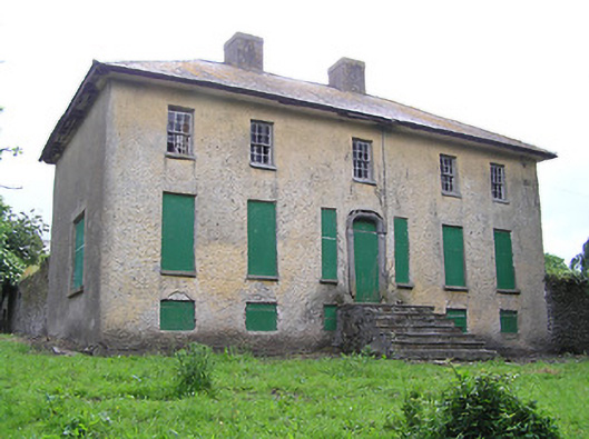 Lacken Househouse · 1753 yd
 Site of Clocully CastleCastle, unclassified · 1.6 mi
 Bawn in FrehansBawn · 1.9 mi
 Kildanogue wildfowl sanctuary and nature reserveNature reserve · 1.9 mi
 Woodcock HillMountain / peak · 2.6 mi
 Roche's HillMountain / peak · 2.8 mi
 The VeeViewpoint · 3.3 mi
 Bohernagore WoodForest · 3.4 mi
 Grubb’s GraveMemorial · 3.4 mi