What is recorded here
At the W end of a low E-W pasture ridge overlooking an extensive tract of bog to W. Believed locally to be the burial place of monks from the Cistercian Abbey at Mooreabbey Demesne (KD026-001----), to which it was reputedly linked via ‘The Dane’s Road’, a togher (KD027-001001-) crossing the bog to the W. An unenclosed rectangular area (OS 25-inch map dims c. 70m NE-SW; c. 45m NW-SE) is defined by a low gently curving scarp (H 0.4-0.8m) ESE-S-WSW, but is without clearly defined limits elsewhere. The E limits are heavily poached by livestock. The interior is nettle covered and no grave markers are visible.
Compiled by: Gearóid Conroy
Date of upload: 30 August 2012
Cistercian monastery cemetery, medieval period; associated with the Abbey at Mooreabbey and significant as a religious burial site linked to a prominent monastic foundation in the region.
The monument record does not grant public access. Check the route and ask the landowner before entering private land.
- What survives
- Recorded monument
Places near here
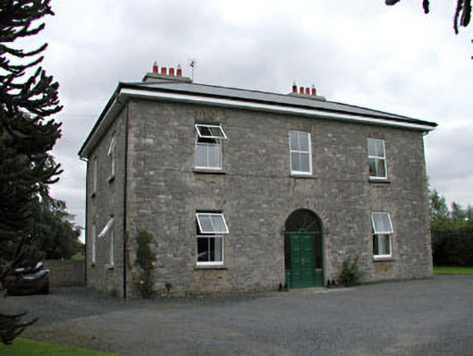 Oghill Housefarm house · 604 yd
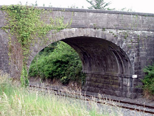 Oghill Bridgebridge · 1264 yd
 Enclosure in DuneanyEnclosure · 1.1 mi
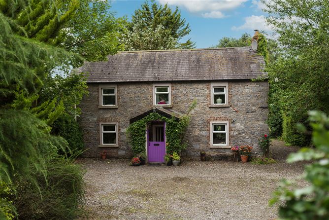 Enclosure in Monasterevin BogEnclosure · 1.1 mi
 Site of CastleCastle, unclassified · 1.7 mi
 Brookfield WoodWood · 2.0 mi
 Bawn in Lackagh BegBawn · 2.1 mi
 Moore Abbey WoodWood · 2.1 mi
 Horse MuseumMuseum · 4.2 mi
 Japanese GardensHeritage attraction · 4.2 mi
 Bithia Mary CrokerMemorial · 6.2 mi
 Bog Lake WalkWalking route · 8.2 mi