What is recorded here
On the gentle S-slope of a shallow E-W valley, through which a small stream flows W c. 60m to the N. A possible nunnery (KD027-027001-) lies c. 160m to the NNW. A very overgrown rectangular area (c. 55m E-W; c. 40m N-S) contains a ruined medieval church (O27-027----). Older, 18th and 19th-century burials are concentrated to the S of the church, while more modern burials surround it. In 2002, archaeological test-trenching (Excavation Licence no. 02E1126) was carried out at the site of a proposed housing development immediately S and W of the church and graveyard. ‘Trench 2’ at the far south of the development revealed evidence of a possible curvilinear ditch on the surface of which a sherd of local, unglazed, medieval cooking ware was found. ‘Trench 3’ at the E of the development revealed a series of eight parallel, N-S furrows. Medieval pottery was found at the base of two of the furrows, suggesting that this may have been part of a medieval field system.
(http://www.excavations.ie/Pages/Details.php?Year=&County=Kildare&id=8317 Accessed 10-09-2012)
Compiled by: Gearóid Conroy
Date of upload: 10 October 2012
The monument record does not grant public access. Check the route and ask the landowner before entering private land.
- What survives
- Recorded monument
Places near here
 Church (Site of)Church · 2 yd
 Catholic Church of the Sacred Heartchurch/chapel · 39 yd
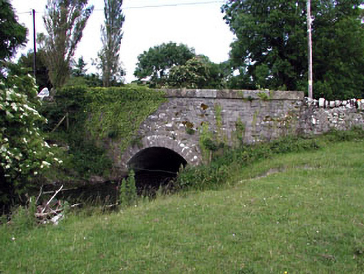 Nurney Bridgebridge · 93 yd
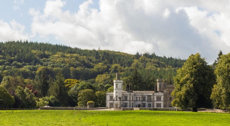 CastleCastle, unclassified · 150 yd
 Site of NunneryReligious house, unclassified · 211 yd
 Site of CastleCastle, unclassified · 258 yd
 Brookfield WoodWood · 1.7 mi
 Derryvullagh IslandForest · 3.3 mi
 Japanese GardensHeritage attraction · 3.9 mi
 Irish National Stud and Japanese GardensHeritage attraction · 3.9 mi
 Battle of Kilrushbattle · 4.2 mi
 History of Moat of ArdscullVisitor information · 5.1 mi